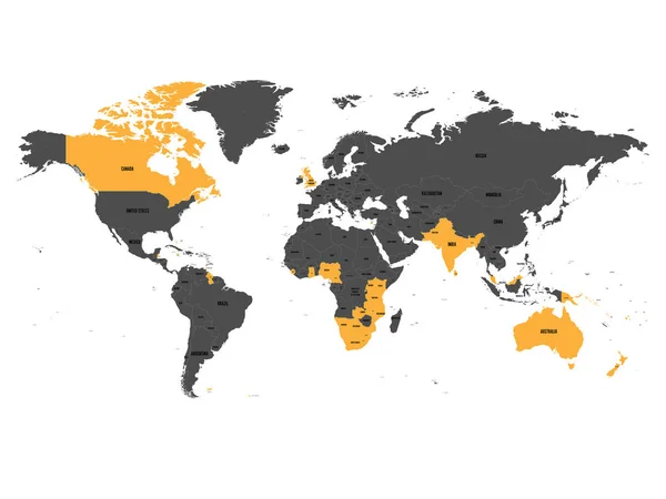
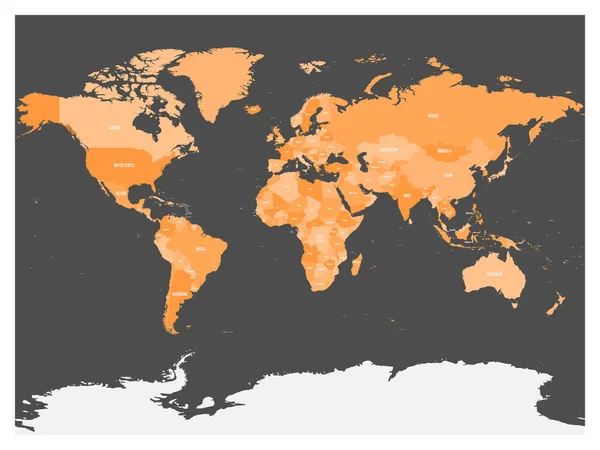
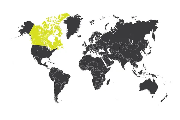
Stock vector Map of Comprehensive and Progressive Agreement for Trans-Pacific Partnership, CPTPP or TPP11. Yellow highlighted member states. Vector illustration

Published: Mar.12, 2018 09:14:41
Author: pyty
Views: 54
Downloads: 2
File type: vector / eps
File size: 7.58 MB
Orginal size: 6000 x 4500 px
Available sizes:
Level: silver