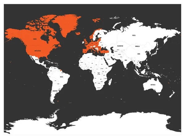
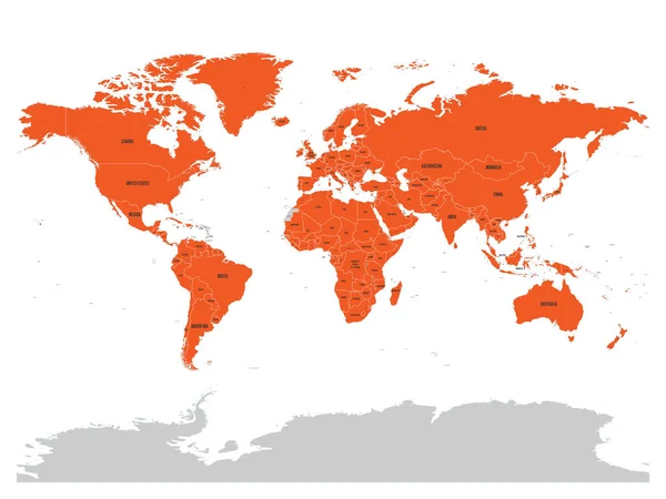
Stock vector North Atlantic Treaty Organization, NATO, member countries highlighted by orange in world political map. 29 member states since June 2017
Published: Mar.12, 2018 09:14:41
Author: pyty
Views: 129
Downloads: 4
File type: vector / eps
File size: 6.3 MB
Orginal size: 6000 x 4500 px
Available sizes:
Level: silver
Similar stock vectors

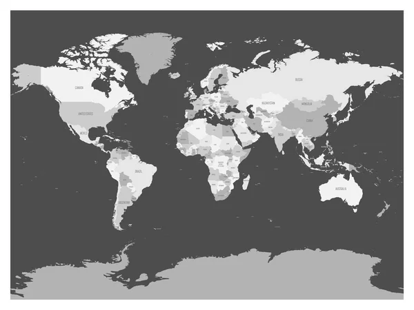
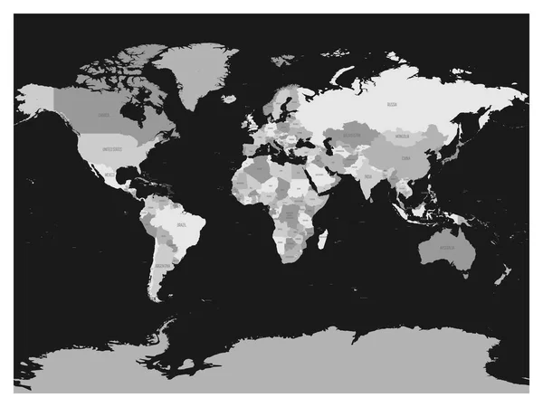
World Map In Four Shades Of Grey On Dark Background. High Detail Blank Political Map. Vector Illustration
6000 × 4500