Home
Images
Vectors
Videos
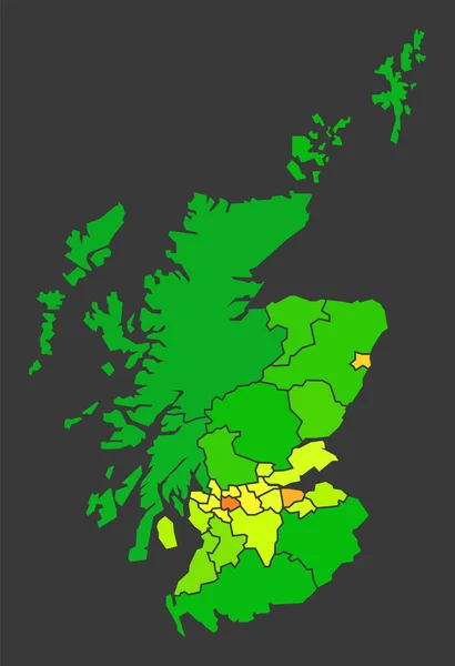
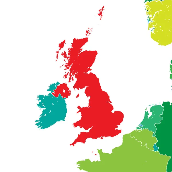
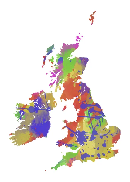
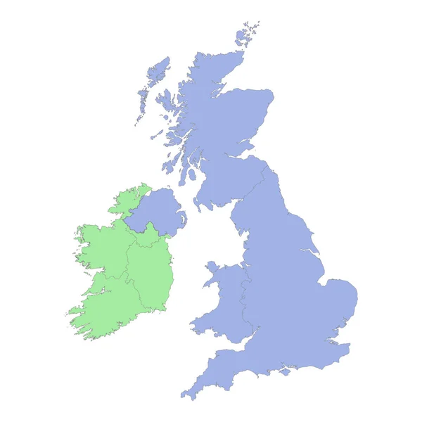
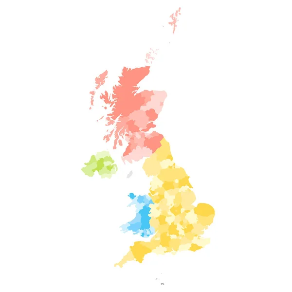
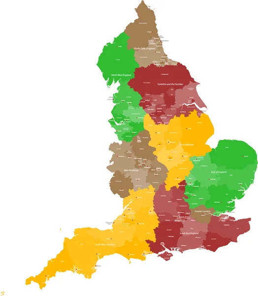
Stock vector Map of England
Published:
May.14, 2014 13:41:18
Author:
Malachy666
Views:
1102
Downloads:
12
File type:
vector
/
ai
File size:
1.4 MB
Orginal size:
4371
x
5000
px
Available sizes:
S
(437 x 500)
M
(874 x 1000)
L
(1748 x 2000)
XL
(4371 x 5000)
VECT
(4371 x 5000)
EL0
(4371 x 5000)
Level:
bronze
Download Vector
Vector topics:
Green
Red
Yellow
Vector
Colored
Illustration
Detail
Brown
City
Europe
Outline
Country
District
Map
Land
State
Great
Island
Politic
Political
Administrative
Politics
Britain
London
Islands
Region
Division
Cities
British
Administration
England
Province
Wight
County
Manchester
Districts
Provinces
Regions
Leeds
Nottingham
Newcastle
Birmingham
Sheffield
Counties
Great Britain
United Kingdom
Isle Of Wight
Unitary Authority
Unitary Authoritys
Similar stock vectors
Scotland Population Heat Map As Color Density Illustration
5820 × 8500
Brexit Map Of United Kingdom. Vector Illustration Template For Wall Art And Marketing In Square Format.
8000 × 8000
Great Britain And Ireland Map Collage Of Filled Circles
3346 × 4787
Great Britain Watercolor Map
4320 × 6047
High Quality Political Map Of United Kingdom And Ireland With Borders Of The Regions Or Provinces. Vector Illustration
4000 × 4000
Map - United Kingdom Of Great Britain And Northern Ireland With
5402 × 5386
United Kingdom Of Great Britain And Northern Ireland, UK. Metropolitan And Non-metropolitan Counties And Unitary Authorities Of England, Districts Of Northern Ireland, Council Areas Of Scotland
8000 × 8000
Map Of Scotland
3000 × 5000