Home
Images
Vectors
Videos
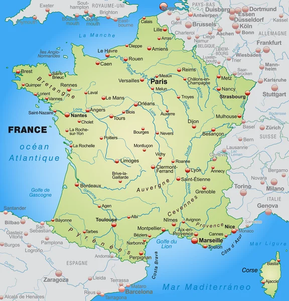
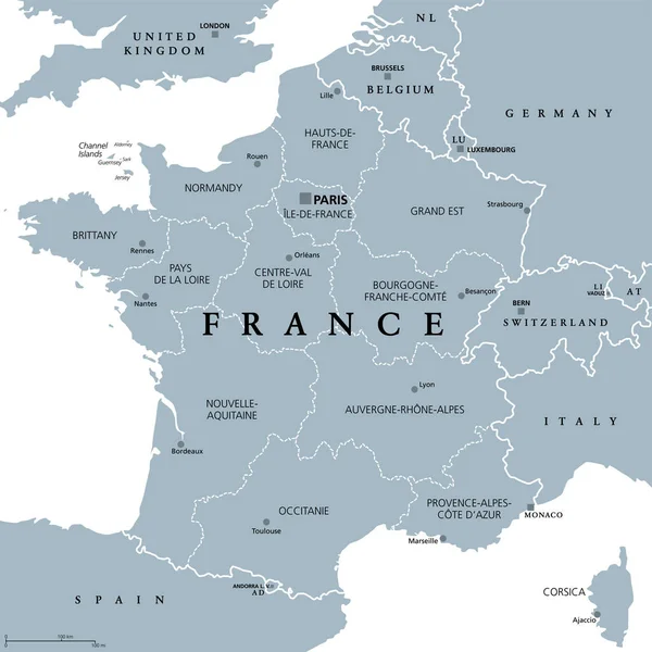
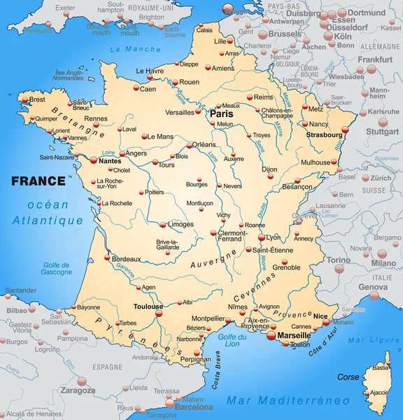
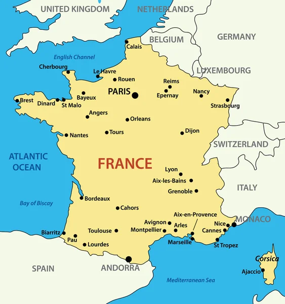
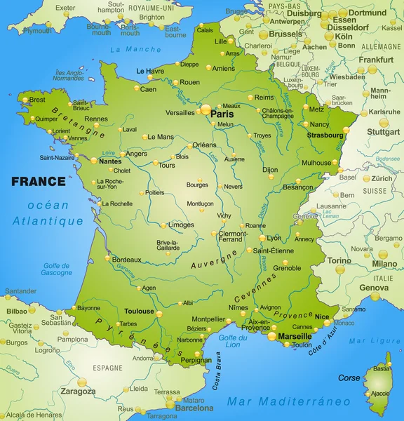
Stock vector Map of France - vector illustration
Published:
Sep.20, 2011 06:23:31
Author:
pavalena
Views:
6689
Downloads:
34
File type:
vector
/
eps
File size:
0.73 MB
Orginal size:
2278
x
2428
px
Available sizes:
S
(469 x 500)
M
(938 x 1000)
L
(1876 x 2000)
XL
(2278 x 2428)
VECT
(2278 x 2428)
EL0
(2278 x 2428)
Level:
bronze
Download Vector
Vector topics:
Image
Yellow
Vector
Illustration
Travel
Light
Sea
French
Picture
City
France
Ocean
Town
Capital
Europe
Country
Map
Geography
Land
Mediterranean
Channel
Island
Of
Atlantic
Republic
Europa
Paris
English
Territory
Maps
De
Eps
En
Corsica
Francia
Carte
City Map
Europe Map
Map Vector
Mapas
Frankrike
Town In France
Similar stock vectors
Map Of France
3921 × 4081
Map Of France - High Details Vector Illustration
5705 × 5946
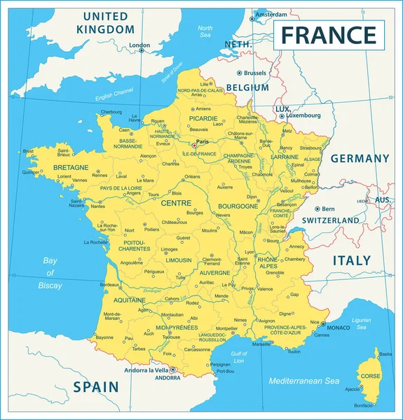
France - Detailed Map With Administrative Divisions And Country Flag. Vector Illustration
6026 × 6284
Map Of France
3921 × 4081
France, Political Map. Regions Of Metropolitan France. French Republic With Capital Paris And 13 Administrative Regions On The Mainland Of Europe And Their Prefectures. English. Illustration. Vector.
6000 × 6000
France, Metropolitan Regions, Gray Political Map. French Republic With Capital Paris And Administrative Regions On The Mainland Of Europe And Their Prefectures. English Labeling. Illustration. Vector.
6000 × 6000
Colorful France Political Map With Clearly Labeled, Separated Layers. Vector Illustration.
4791 × 4652
Map Of France
3921 × 4081