photo free
Home Images Vectors Videos

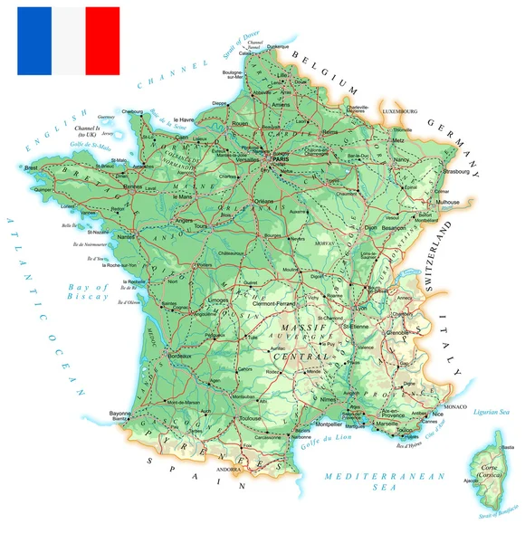
Stock vector France - detailed map with administrative divisions and country flag. Vector illustration
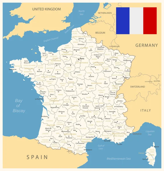
Stock vector France - detailed map with administrative divisions and country flag. Vector illustration
Published: Jul.19, 2023 09:43:54
Author: gt29
Views: 223
Downloads: 1
File type: vector / eps
File size: 2.16 MB
Orginal size: 6026 x 6284 px
Available sizes:
S
(479 x 500)
M
(959 x 1000)
L
(1918 x 2000)
XL
(6026 x 6284)
VECT
(6026 x 6284)
EL0
(6026 x 6284)
Level: bronze
Download Vector
Vector topics:

Similar stock vectors

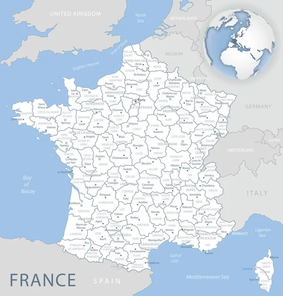
stock vector Blue-gray detailed map of France and administrative divisions and location on the globe.

Blue-gray Detailed Map Of France And Administrative Divisions And Location On The Globe.

5248 × 5480
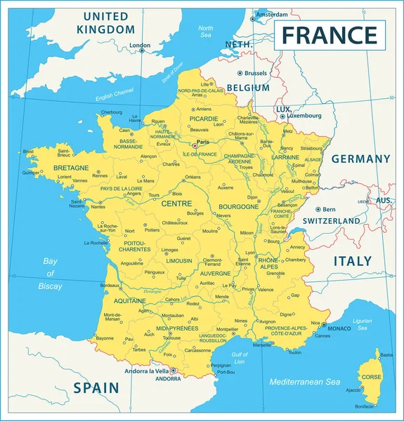
stock vector Map of France - high details vector illustration

Map Of France - High Details Vector Illustration

5705 × 5946
stock vector France, political map. Regions of Metropolitan France. French Republic with capital Paris and 13 administrative regions on the mainland of Europe and their prefectures. English. Illustration. Vector.

France, Political Map. Regions Of Metropolitan France. French Republic With Capital Paris And 13 Administrative Regions On The Mainland Of Europe And Their Prefectures. English. Illustration. Vector.

6000 × 6000
stock vector France Map - Vintage Vector Illustration

France Map - Vintage Vector Illustration

5500 × 5743
stock vector France Political Map

France Political Map

6000 × 6270
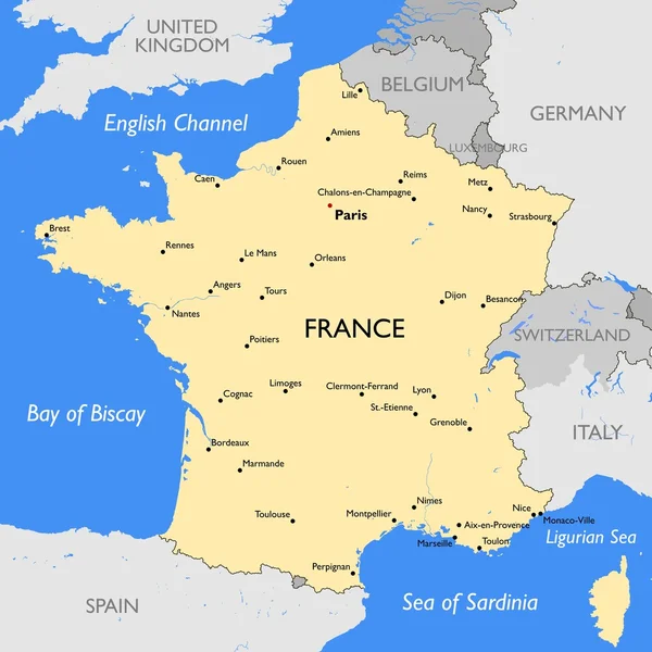
stock vector France map

France Map

5400 × 5400
stock vector France - detailed topographic map - illustration.

France - Detailed Topographic Map - Illustration.

5400 × 5587
stock vector Colorful France political map with clearly labeled, separated layers. Vector illustration.

Colorful France Political Map With Clearly Labeled, Separated Layers. Vector Illustration.

4791 × 4652