Home
Images
Vectors
Videos
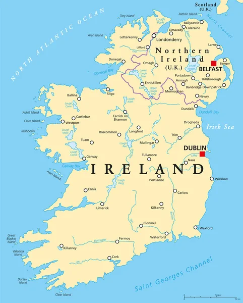
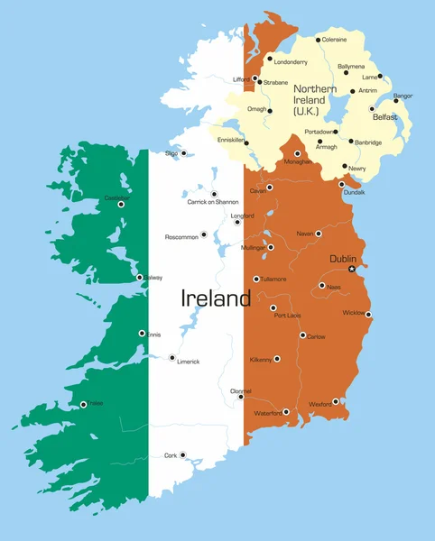
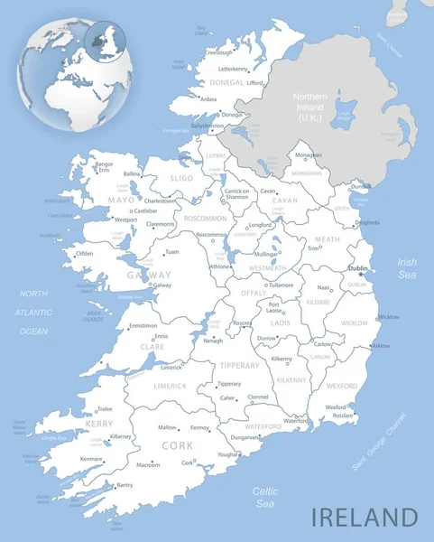
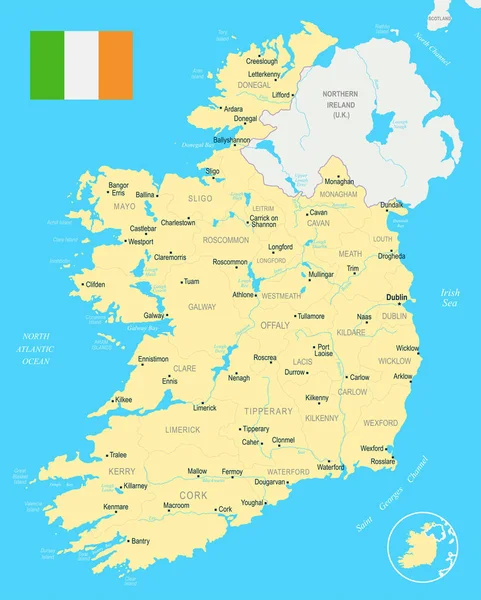
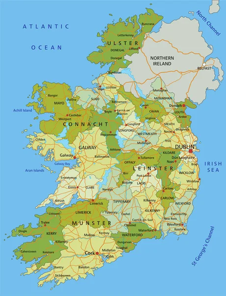
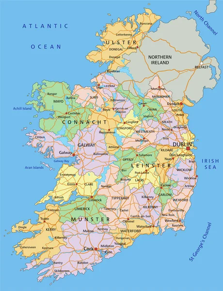
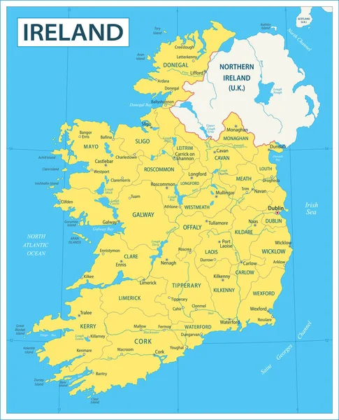
Stock vector Map of Ireland - Highly Detailed Vector illustration
Published:
Jun.13, 2023 13:53:30
Author:
dikobrazik
Views:
2
Downloads:
0
File type:
vector
/
eps
File size:
6.49 MB
Orginal size:
4170
x
5156
px
Available sizes:
S
(404 x 500)
M
(809 x 1000)
L
(1618 x 2000)
XL
(4170 x 5156)
VECT
(4170 x 5156)
EL0
(4170 x 5156)
Level:
silver
Download Vector
Vector topics:
Color
Yellow
Blue
Vector
Business
Travel
Sea
City
News
Cork
Detailed
Europe
Globe
Map
Geography
Ireland
Land
Countries
Government
Politics
Neighbour
Irish
Dublin
Regions
Wicklow
Infographic
Illustration And Painting
Capital Cities
Navigational Equipment
Geographical Locations
Longford
Irish Sea
Tullamore
Map Of Ireland
Similar stock vectors
Ireland And Northern Ireland Political Map
7140 × 8888
Ireland
2866 × 3564
Blue-gray Detailed Map Of Ireland Administrative Divisions And Location On The Globe. Vector Illustration
5206 × 6494
Ireland
4911 × 6142
Ireland Map - Detailed Vector Illustration
5500 × 6853
Highly Detailed Editable Political Map With Separated Layers. Ireland.
4353 × 5672
Republic Of Ireland And Northern Ireland Political Map
7140 × 8888
Ireland - Highly Detailed Editable Political Map With Labeling.
4353 × 5672