Home
Images
Vectors
Videos
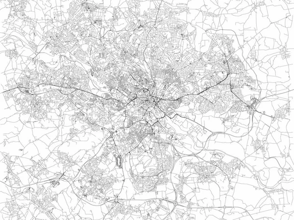
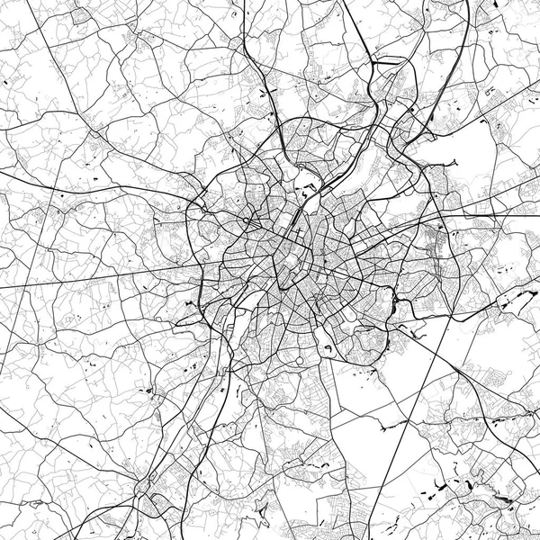
Stock vector Map of Leeds, satellite view of the city, streets and houses, England. UK. Leeds is a city in Yorkshire County
Published:
Apr.24, 2018 11:10:52
Author:
vampy1
Views:
58
Downloads:
2
File type:
vector
/
eps
File size:
6.72 MB
Orginal size:
6659
x
4992
px
Available sizes:
S
(500 x 375)
M
(1000 x 750)
L
(2000 x 1499)
XL
(6659 x 4992)
VECT
(6659 x 4992)
EL0
(6659 x 4992)
Level:
silver
Download Vector
Vector topics:
Abstract
Cut
Road
City
Lines
Visit
Mountains
Street
Capital
Section
Map
Houses
Homes
Offices
Terrain
Holidays
England
Promote
Rivers
Leeds
Polygons
Black And White
United Kingdom
Aerial View
Satellite View
Tourism Office
Terrain Orography
Similar stock vectors
Manchester Map, Satellite View, City, England. Streets View. United Kingdom
6101 × 4992
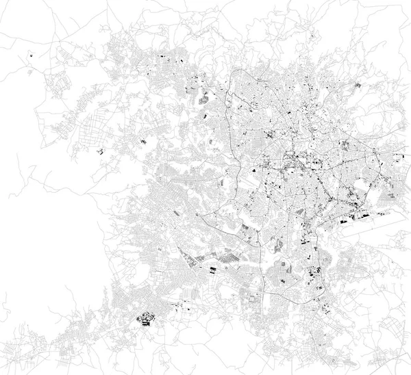
Vector Map Of The City Of Birmingham, Wolverhampton, English Midlands, United Kingdom, England
4938 × 6029
Leipzig Map, Satellite View, Black And White Map. Street Directory And City Map. Germany
6774 × 6440
Map Of The City Of Birmingham, Wolverhampton, English Midlands, United Kingdom, England
6763 × 4850
Brussels Belgium City Monochrome Black And White Minimalist Street Road Aesthetic Decoration Map
7912 × 7912
Satellite Map Of Addis Ababa, It Is The Capital And Largest City Of Ethiopia. Africa. Map Of Streets And Buildings Of The Town Center.
10798 × 9873
Brussels Belgium City Monochrome Black And White Minimalist Street Road Aesthetic Decoration Map
7912 × 7912
Vector Map Of The City Of Charlotte, In The USA Of North Carolina
4411 × 3960