Home
Images
Vectors
Videos
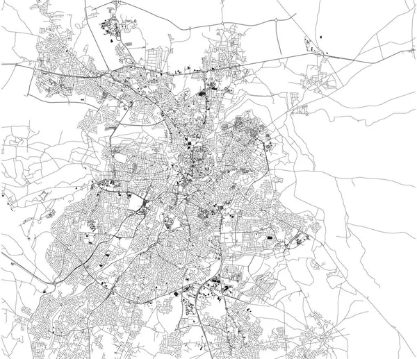
Stock vector Satellite map of Addis Ababa, it is the capital and largest city of Ethiopia. Africa. Map of streets and buildings of the town center.
Published:
Jul.29, 2019 07:34:44
Author:
vampy1
Views:
12
Downloads:
0
File type:
vector
/
eps
File size:
13.89 MB
Orginal size:
10798
x
9873
px
Available sizes:
S
(500 x 457)
M
(1000 x 914)
L
(2000 x 1829)
XL
(10798 x 9873)
VECT
(10798 x 9873)
EL0
(10798 x 9873)
Level:
silver
Download Vector
Vector topics:
White
Background
Design
Isolated
Sign
Travel
Transportation
Black
Border
Traffic
Symbol
Architecture
Building
City
Urban
Lines
Information
Attention
Highway
Landmark
Outline
Country
District
Map
Africa
Warning
Buildings
Chart
Poster
Touristic
Destination
Welcome
Republic
Signpost
Atlas
Democratic
Ministry
Ethiopia
Top View
Aerial View
Addis Ababa
City Map
Satellite Map
Similar stock vectors
Satellite Map Of Odense Municipality. It Is A Danish Municipality (kommune) In Region Of Southern Denmark On The Island Of Funen In Central Denmark. Map Of Streets And Buildings Of The Town Center. Europe
6299 × 5774
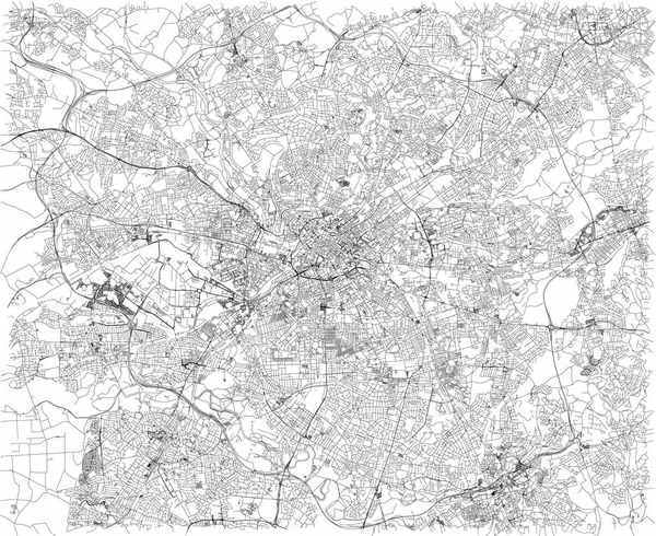
Satellite Map Of Belo Horizonte, Brazil. South America. Map Of Streets And Buildings Of The Town Center
8268 × 7792
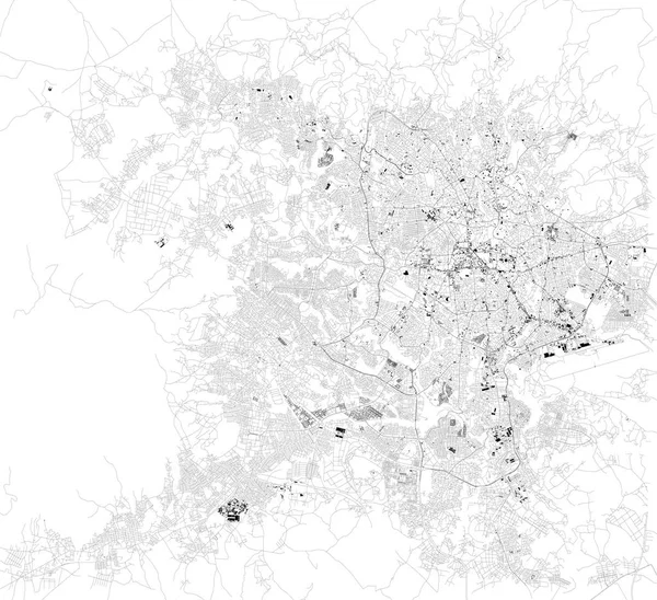
Map Of Nicosia And Strovolos, Satellite View, City, Cyprus. Turkish Part And Greek Part Of The Urban Area
5784 × 4992
Satellite Map Of Dublin, Ireland, City Streets. Street Map, City Center
6029 × 3995
Manchester Map, Satellite View, City, England. Streets View. United Kingdom
6101 × 4992
Map Of Leeds, Satellite View Of The City, Streets And Houses, England. UK. Leeds Is A City In Yorkshire County
6659 × 4992
Satellite Map Of Kuala Lumpur, Malaysia, City Streets. Street Map And Map Of The City Center
9844 × 5993
Satellite Map Of Ho Chi Minh, Vietnam, City Streets. Street Map, City Center. Asia
7551 × 7951