Home
Images
Vectors
Videos
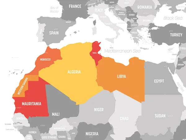
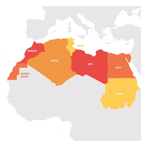
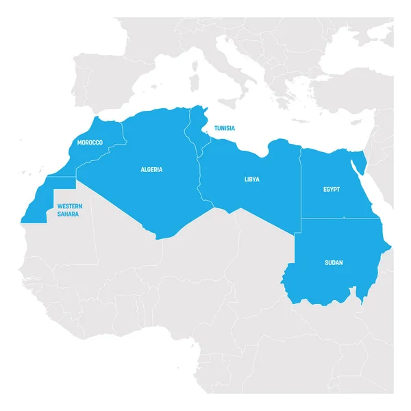
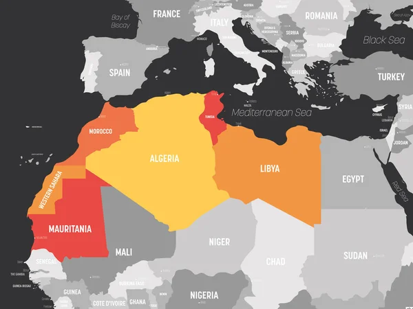
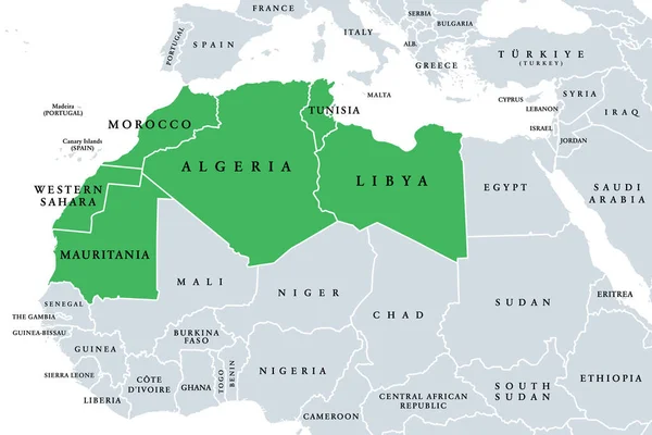
Stock vector Map of Maghreb countries - Northwest Africa states. Vector illustration
Published:
May.18, 2020 06:34:24
Author:
pyty
Views:
17
Downloads:
0
File type:
vector
/
eps
File size:
1.48 MB
Orginal size:
6000
x
4500
px
Available sizes:
S
(500 x 375)
M
(1000 x 750)
L
(2000 x 1500)
XL
(6000 x 4500)
VECT
(6000 x 4500)
EL0
(6000 x 4500)
Level:
silver
Download Vector
Vector topics:
Group
Vector
Graphic
Design
Isolated
Business
Labeling
Label
Orange
Border
African
Text
Grey
Information
Template
North
Name
Country
Map
Cartography
Geography
Africa
Algeria
Land
State
Chart
Countries
International
Political
Geographic
Region
Northwest
Tunisia
Magreb
Morocco
Geographical
Regional
Libya
Maghreb
Mauritania
Labeled
Barbary
Infographic
Western Sahara
Political Map
Subregion
Arab Maghreb
Maghreb Countries
Maghreb Map
Magheb
Similar stock vectors
Map Of Maghreb Countries - Northwest Africa States. Vector Illustration
6000 × 4500
Map Of Maghreb Countries - Northwest Africa States. Vector Illustration
6000 × 4500
North Africa Region. Map Of Countries In Northern Africa. Vector Illustration
6000 × 6000
North Africa Region. Map Of Countries In Northern Africa. Vector Illustration
6000 × 6000
Map Of Maghreb Countries - Northwest Africa States. Vector Illustration
6000 × 4500
Maghreb, Arab Maghreb Or Also Northwest Africa, Political Map. Part Of The Arab World, Comprising Algeria, Libya, Morocco, Mauritania, Tunisia, Western Sahara And The Spanish Cities Ceuta And Melilla.
9000 × 6000
Map Of Worlds. Saudi Arabia.
5600 × 4200
Blue-gray Detailed Map Of Niger Administrative Divisions And Location On The Globe. Vector Illustration
5239 × 6288