Home
Images
Vectors
Videos
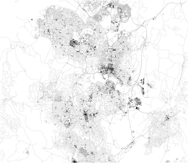
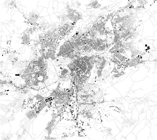
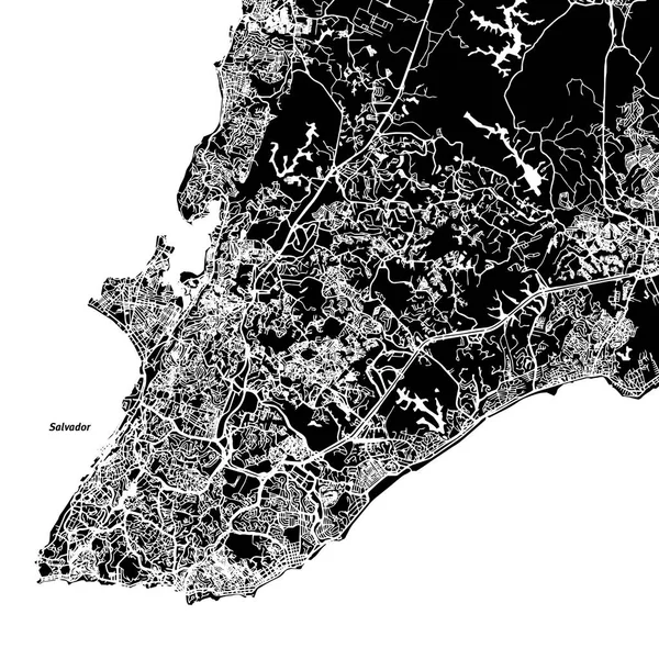
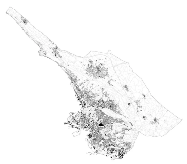
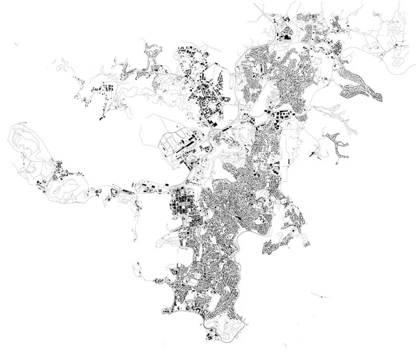
Stock vector Map of Noumea, satellite view, city, New Caledonia. Houses and streets
Published:
Sep.24, 2018 06:21:45
Author:
vampy1
Views:
3
Downloads:
0
File type:
vector
/
eps
File size:
8.19 MB
Orginal size:
10659
x
9035
px
Available sizes:
S
(500 x 424)
M
(1000 x 848)
L
(2000 x 1695)
XL
(10659 x 9035)
VECT
(10659 x 9035)
EL0
(10659 x 9035)
Level:
silver
Download Vector
Vector topics:
White
Background
Graphic
Design
Paper
Isolated
Shape
Sign
Travel
Abstract
French
Silhouette
Border
Modern
Symbol
Icon
City
Flat
Simple
World
Digitally
France
Ocean
Tourism
Capital
Outline
Country
Map
Cartography
Geography
Area
Pacific
Continent
Trip
State
Location
Island
Political
Administrative
Overseas
Islands
Region
Territory
Nation
Districts
NEW CALEDONIA
Nouméa
Similar stock vectors
Satellite Map Of Canberra. It Is The Capital City Of Australia. Map Of Streets And Buildings Of The Town Center. Asia
8098 × 7050
Satellite Map Of Yerevan. It Is The Capital And Largest City Of Armenia. Situated Along The Hrazdan River. Map Of Streets And Buildings Of The Town Center. Asia
6299 × 5627
Satellite Map Of Izmir. It Is A Metropolitan City In The Western Extremity Of Anatolia And The Third Most Populous City In Turkey. Map Of Streets And Buildings Of The Town Center. Asia
6723 × 5756
Salvador One Color Map
8000 × 8000
Satellite Map Trieste, Towns And Roads, Buildings And Connecting Roads Of Surrounding Areas. Friuli-Venezia Giulia, Italy. Map Roads, Ring Roads
6777 × 5947
Satellite Map Of Venice And Surrounding Areas. Veneto, Italy. Province. Map Roads, Ring Roads And Highways, Rivers, Railway Lines
11464 × 11502
Satellite Map Of Dubrovnik, Croatia, City Streets. Street Map, City Center
8351 × 5309
Satellite Map Of Krasnoyarsk, Siberia, Russia. It Is A City And The Administrative Center Of Krasnoyarsk Krai, Russia, Located On The Yenisei River. Map Of Streets And Buildings Of The Town Center. Asia
7087 × 6480