Home
Images
Vectors
Videos
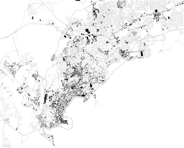
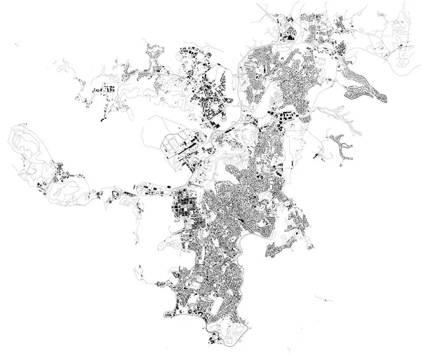
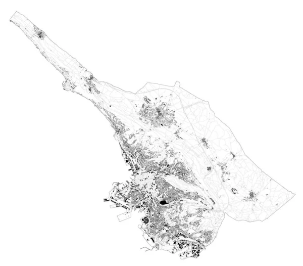
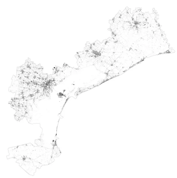
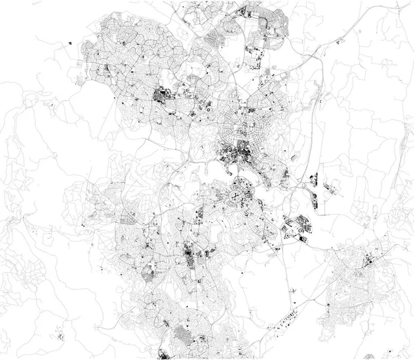
Stock vector Satellite map Trieste, towns and roads, buildings and connecting roads of surrounding areas. Friuli-Venezia Giulia, Italy. Map roads, ring roads
Published:
Dec.12, 2019 10:06:19
Author:
vampy1
Views:
3
Downloads:
0
File type:
vector
/
eps
File size:
11.35 MB
Orginal size:
6777
x
5947
px
Available sizes:
S
(500 x 439)
M
(1000 x 878)
L
(2000 x 1755)
XL
(6777 x 5947)
VECT
(6777 x 5947)
EL0
(6777 x 5947)
Level:
silver
Download Vector
Vector topics:
White
Background
Design
Isolated
Sign
Travel
Transportation
Black
Border
Traffic
Symbol
Architecture
Building
City
Urban
Lines
Information
Italy
Highway
Landmark
Europe
Outline
Country
District
Map
Buildings
Highways
Homes
Touristic
Milan
Destination
Roads
Streets
Signpost
Atlas
Ministry
Rivers
Trieste
Friuli Venezia Giulia
Top View
Aerial View
City Map
Venezia Giulia
Satellite Map
Ring Roads
Similar stock vectors
Satellite Map Of Venice And Surrounding Areas. Veneto, Italy. Province. Map Roads, Ring Roads And Highways, Rivers, Railway Lines
11464 × 11502
Satellite Map Of Izmir. It Is A Metropolitan City In The Western Extremity Of Anatolia And The Third Most Populous City In Turkey. Map Of Streets And Buildings Of The Town Center. Asia
6723 × 5756
Satellite Map Of Canberra. It Is The Capital City Of Australia. Map Of Streets And Buildings Of The Town Center. Asia
8098 × 7050
Map Of Bursa, Turkey, Satellite View, Black And White Map. Street Directory And City Map. Asia
4717 × 3040
Satellite Map Of Panama City, Panama, City Streets. Street Map, City Center. South America
6703 × 5380
Satellite Map Of Adalia, Turkey, City Streets. Street Map, City Center. Asia
10659 × 5992
Satellite Map Of Province Of Brindisi Towns And Roads, Buildings And Connecting Roads Of Surrounding Areas. Puglia Region, Italy. Map Roads, Ring Roads
6644 × 5705
Map Of Noumea, Satellite View, City, New Caledonia. Houses And Streets
10659 × 9035