Home
Images
Vectors
Videos
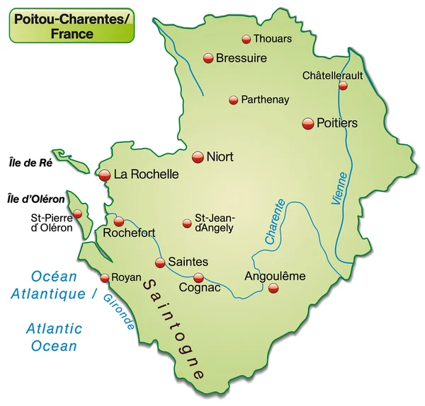
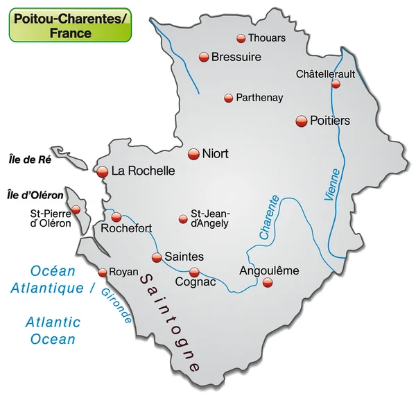
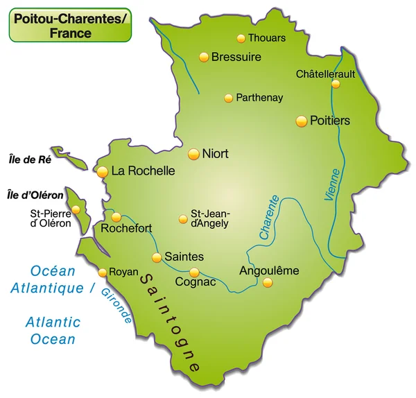
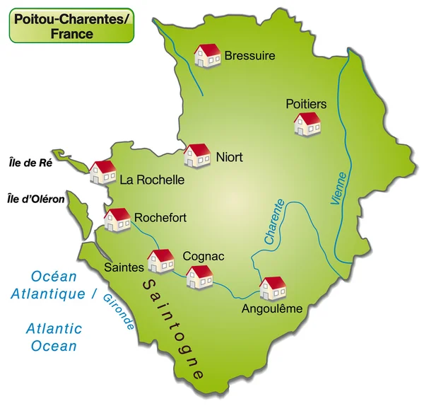
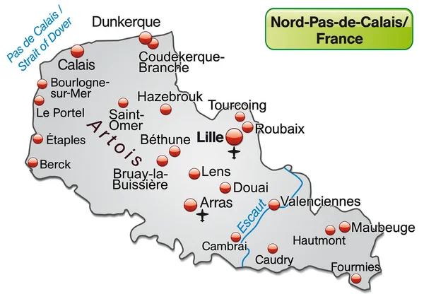
Stock vector Map of Poitou-Charentes
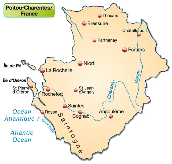
Published:
Jan.23, 2014 09:28:40
Author:
artalis
Views:
179
Downloads:
2
File type:
vector
/
ai
File size:
0.71 MB
Orginal size:
4208
x
4028
px
Available sizes:
S
(500 x 479)
M
(1000 x 957)
L
(2000 x 1914)
XL
(4208 x 4028)
VECT
(4208 x 4028)
EL0
(4208 x 4028)
Level:
bronze
Download Vector
Vector topics:
Vector
Background
Illustration
Design
Orange
Border
Card
Pastel
St
Information
Web
France
In
Country
Site
Map
Cartography
Plan
National
Overview
State
General
Chart
Jean
Borders
Island
Of
Department
Cognac
Orientation
An
As
La
Cartographer
Pierre
Rochelle
Departments
Saintes
Poitou
Poitou Charentes
Oléron
Royan
Chatellerault
Charentes
Rochefort
Angouleme
Niort
Poitier
Bressuire
Similar stock vectors
Map Of Poitou-Charentes
4208 × 4028
Map Of Poitou-Charentes
4208 × 4028
Map Of Poitou-Charentes
4208 × 4028
Poitou-charentes As An Island Map Of France (the Dagestellte Field Is Optional) With All Major Topographical Information In Gray. The Card Is Optimized For Printing And For Use In Digital Media.
5472 × 5216
Map Of Poitou-Charentes
4208 × 4028
Map Of North-pas-de-calais
4907 × 3460
Map Of North-pas-de-calais
4907 × 3460
Map Of Aquitaine
3922 × 4079