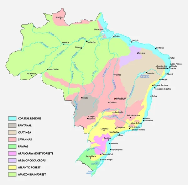
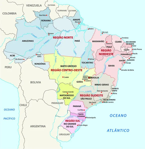
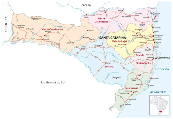
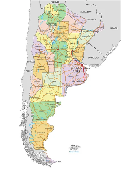
Stock vector map of the northeast region, brazil

Published: Mar.27, 2020 13:35:26
Author: PantherMediaSeller
Views: 34
Downloads: 0
File type: vector / zip
File size: 0 MB
Orginal size: 6336 x 7440 px
Available sizes:
Level: platinum