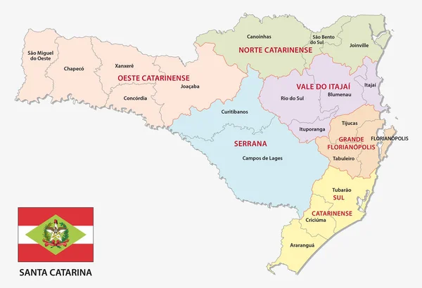
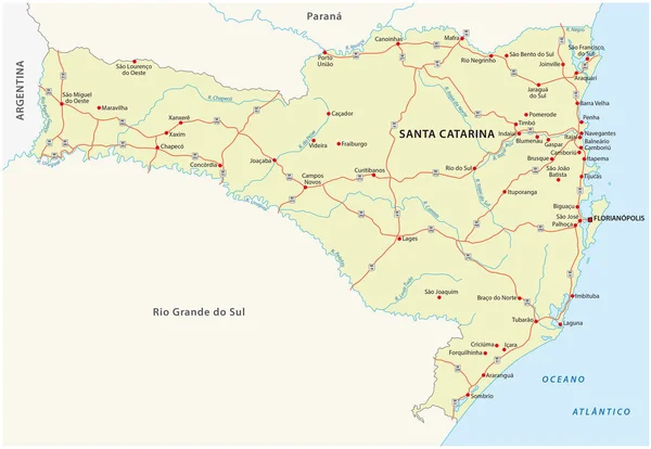
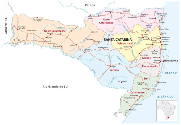
Stock vector santa catarina road and administrative map brazil
Published: Oct.18, 2019 06:54:11
Author: Lesniewski
Views: 106
Downloads: 2
File type: vector / eps
File size: 1.85 MB
Orginal size: 4475 x 3100 px
Available sizes:
Level: bronze