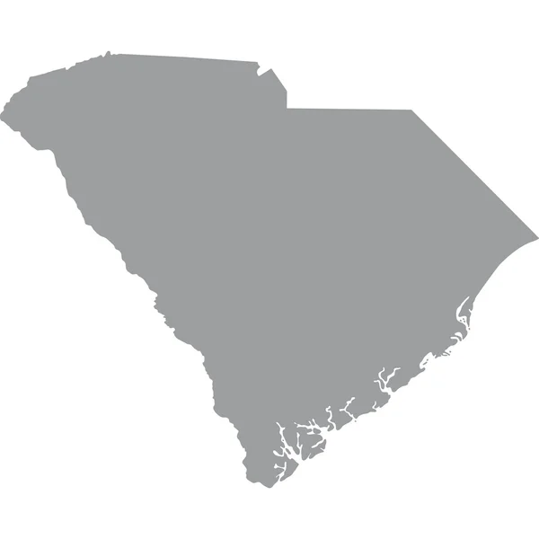
Stock vector Map of the U.S. state of South Carolina
Published: Jun.07, 2017 07:07:48
Author: tatyanabezrukova70.gmail.com
Views: 2
Downloads: 0
File type: vector / eps
File size: 0.81 MB
Orginal size: 5000 x 5000 px
Available sizes:
Level: beginner
Similar stock vectors

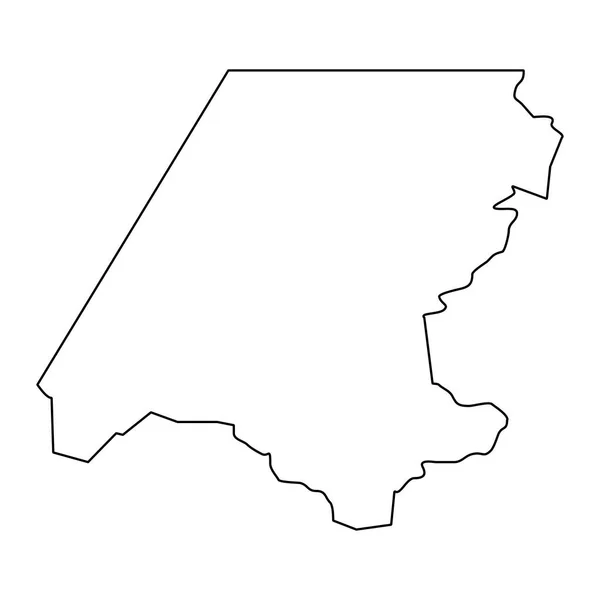
Huehuetenango Department Map, Administrative Division Of The Country Of Guatemala. Vector Illustration.
8334 × 8334