Home
Images
Vectors
Videos
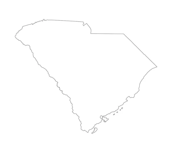
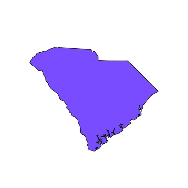
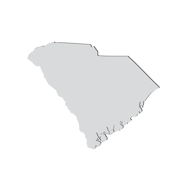
Stock vector Map of the U.S. state of South Carolina
Published:
Feb.22, 2018 08:47:05
Author:
tatyanabezrukova70.gmail.com
Views:
2
Downloads:
0
File type:
vector
/
eps
File size:
0.8 MB
Orginal size:
5000
x
5000
px
Available sizes:
S
(500 x 500)
M
(1000 x 1000)
L
(2000 x 2000)
XL
(5000 x 5000)
VECT
(5000 x 5000)
EL0
(5000 x 5000)
Level:
beginner
Download Vector
Vector topics:
Image
White
Vector
Illustration
Isolated
Shape
Sign
Travel
Abstract
Piece
Pattern
Silhouette
Border
Symbol
Concept
Icon
Part
Earth
American
Usa
South
Country
Map
Cartography
Geography
State
America
Federation
United
Region
Territory
Frontier
Geographical
Carolina
Similar stock vectors
Map Of The U.S. State Of South Carolina
5000 × 5000
Map Of South Carolina
5000 × 4000
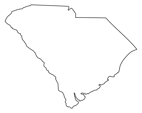
South Carolina, State Of USA - Solid Black Outline Map Of Country Area. Simple Flat Vector Illustration
5000 × 5000
Blank South Carolina Vector Map Silhouette Illustration Isolated On White Background. High Detailed Illustration. United State Of America Country. Empty Editable South Carolina Line Contour Map.
5268 × 4436
Huehuetenango Department Map, Administrative Division Of The Country Of Guatemala. Vector Illustration.
8334 × 8334
Three-dimensional Map Of South Carolina. USA.
5600 × 4200
The 2D State Of Alabama Outline Map On White Background
5001 × 5001
Map Of South Carolina
5000 × 4000