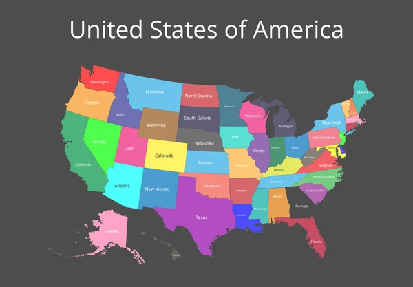
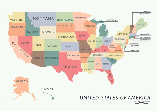
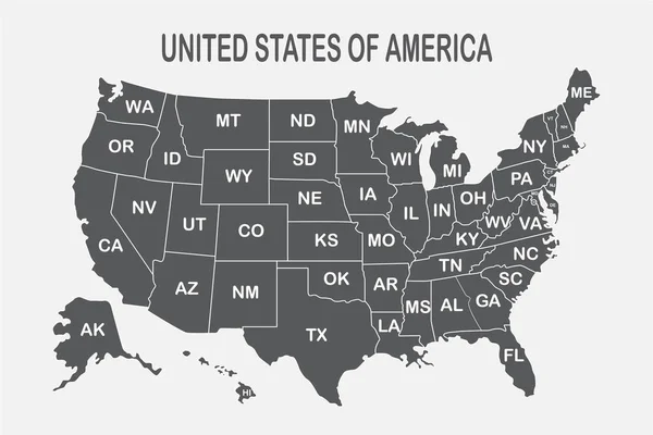
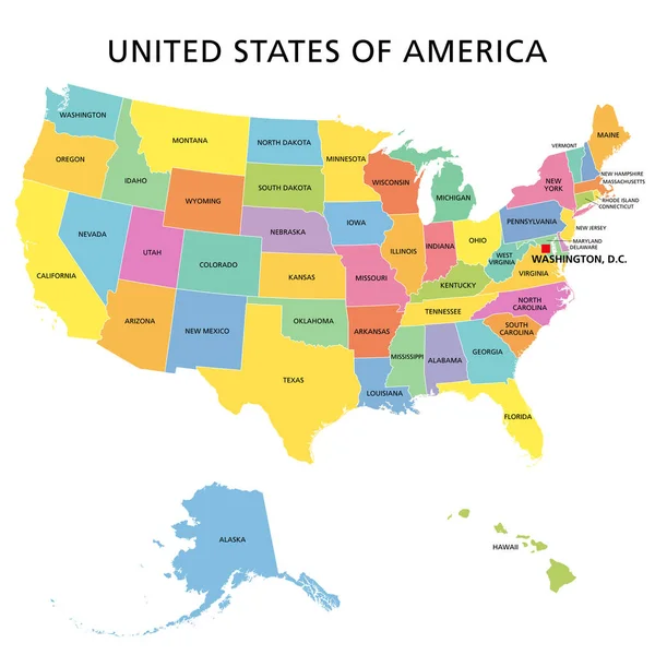
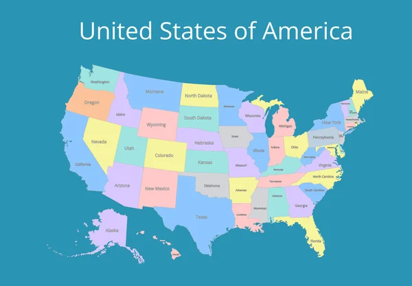
Stock vector Map of the USA. Image with clipping path and name of states. Vector illustration.
Published: Apr.21, 2016 09:24:31
Author: rb.octopus.vc
Views: 17
Downloads: 0
File type: vector / eps
File size: 4.73 MB
Orginal size: 7193 x 5000 px
Available sizes:
Level: bronze
Similar stock vectors
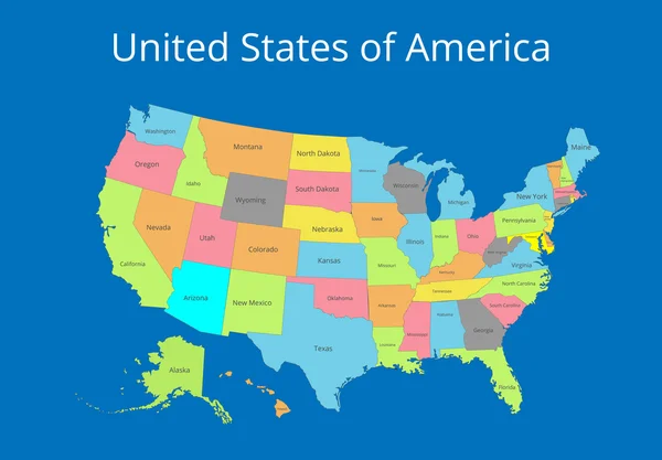
Map Of The USA. Image With Clipping Path And Name Of States. State Mark Vector Illustration.
7193 × 5000