Home
Images
Vectors
Videos
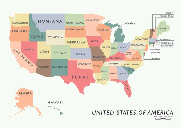
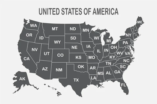
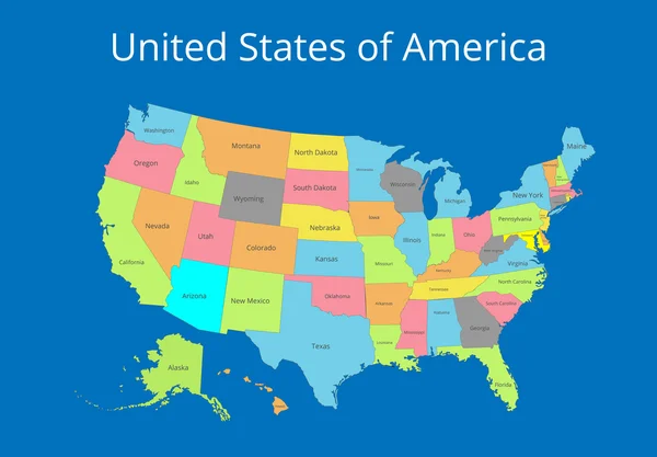
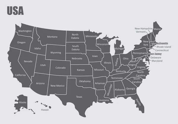
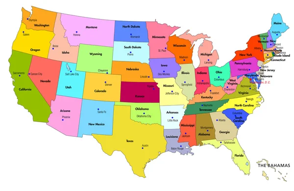
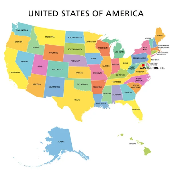
Stock vector United States of America, multi colored political map. 50 states with own geographic territory, constituent entities, bound together in a union and a federal government. English. Illustration. Vector.
Published:
Mar.23, 2020 13:50:03
Author:
Furian
Views:
893
Downloads:
2
File type:
vector
/
eps
File size:
3.96 MB
Orginal size:
6000
x
6000
px
Available sizes:
S
(500 x 500)
M
(1000 x 1000)
L
(2000 x 2000)
XL
(6000 x 6000)
VECT
(6000 x 6000)
EL0
(6000 x 6000)
Level:
silver
Download Vector
Vector topics:
Color
Vector
Illustration
Multi
Isolated
Multicolor
Us
Usa
Multicolored
Capital
North
Country
Map
Cartography
Geography
Hawaii
Continent
State
Texas
America
Island
Federation
Political
Administrative
Of
Union
United
States
Washington
Region
Fifty
Division
English
Federal
Territory
50
Atlas
Province
Americas
Florida
Nation
Mapping
Colorado
Alaska
White Background
New York
North America
United States
Political Map
Similar stock vectors
USA Map With Alaska And Hawaii Map, New Political Detailed Map, Separate Individual States, With State Names, Isolated On White Background 3D Vector
5254 × 3000
Map Of United States Of America
4024 × 5760
Colorful USA Map With Name Of States
7076 × 5000
Poster Map Of United States Of America With State Names On The White Background. Black And White Print Map Of USA For T-shirt, Poster Or Geographic Themes
6254 × 4171
Map Of The USA. Image With Clipping Path And Name Of States. State Mark Vector Illustration.
7193 × 5000
USA Regions Map
5000 × 3500
Map Of USA With States
5000 × 3267
Political Map Of USA With States
6864 × 5596