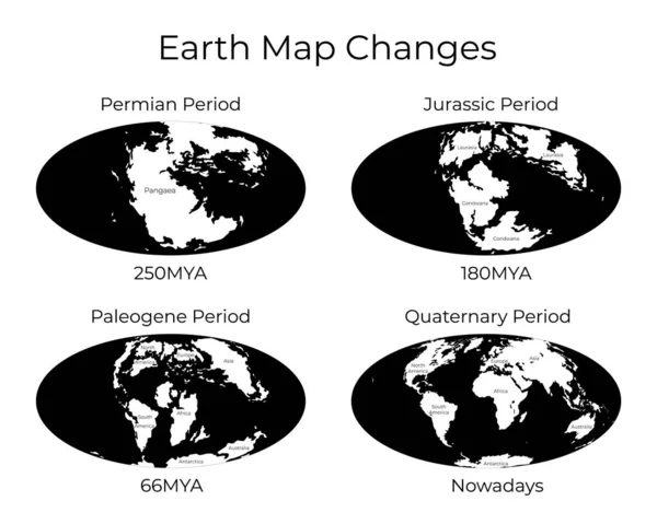
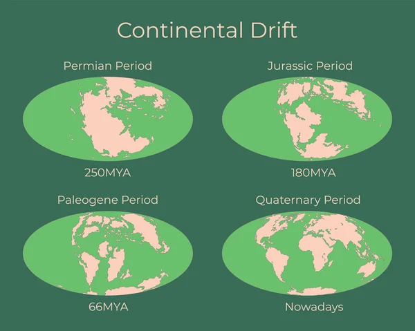
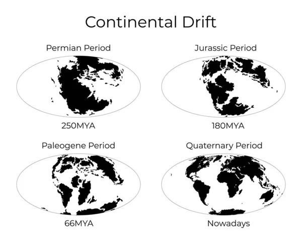
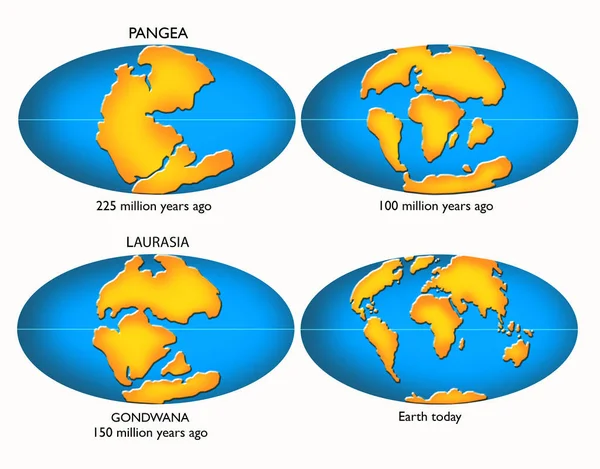
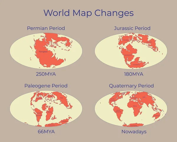
Stock vector Map of the World and changes in different geological periods. Colorful vector illustration of Worldmap with names of continents isolated on background. 250mya, 180mya, 66mya and nowadays projections.
Published: Jan.14, 2020 10:41:07
Author: tinki.v
Views: 225
Downloads: 4
File type: vector / eps
File size: 3.81 MB
Orginal size: 6250 x 5000 px
Available sizes:
Level: beginner