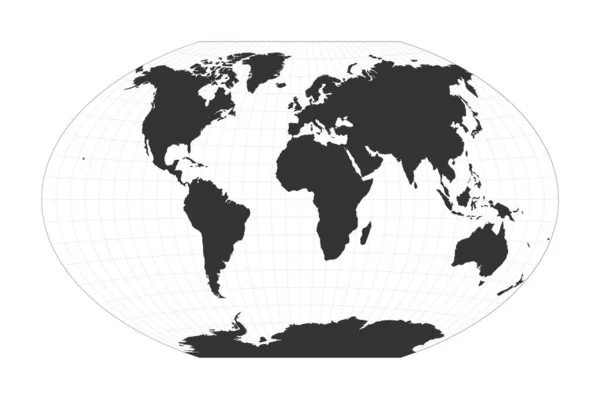
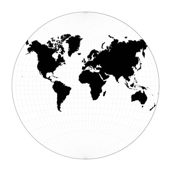
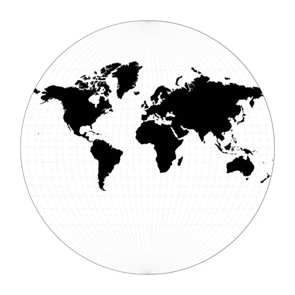
Stock vector Map of the world illustration Lagrange conformal projection Plan world geographical map with
Published: Feb.12, 2020 13:25:21
Author: gagarych
Views: 3
Downloads: 0
File type: vector / eps
File size: 1.48 MB
Orginal size: 5488 x 5488 px
Available sizes:
Level: bronze
Similar stock vectors
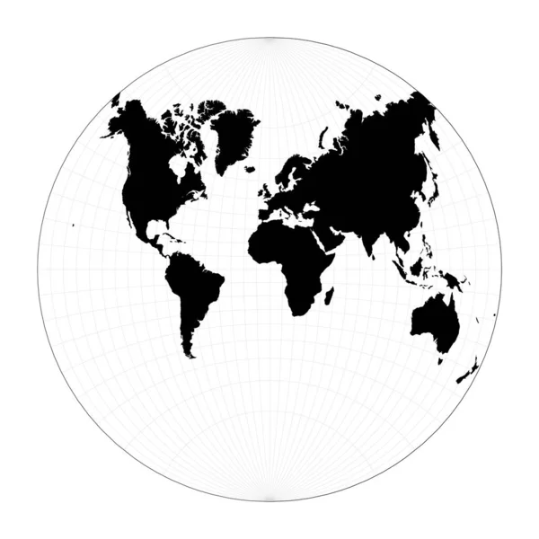

Map Of The World Van Der Grinten II Projection Globe With Latitude And Longitude Net World Map On
5491 × 5491
World Shape Fahey Pseudocylindrical Projection Plan World Geographical Map With Graticlue Lines
6360 × 4754
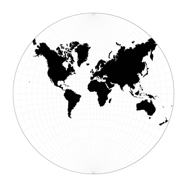
Map Of The World McBrydeThomas Flatpolar Quartic Pseudocylindrical Equalarea Projection Globe
6802 × 4438