Home
Images
Vectors
Videos
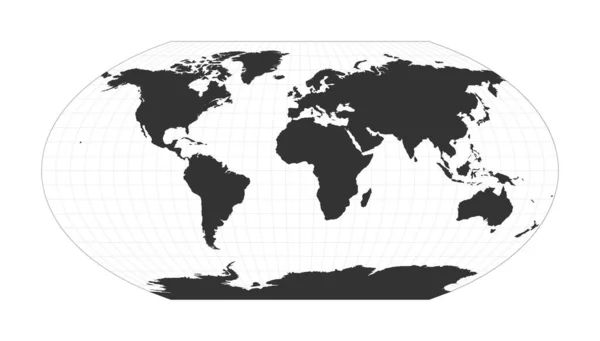
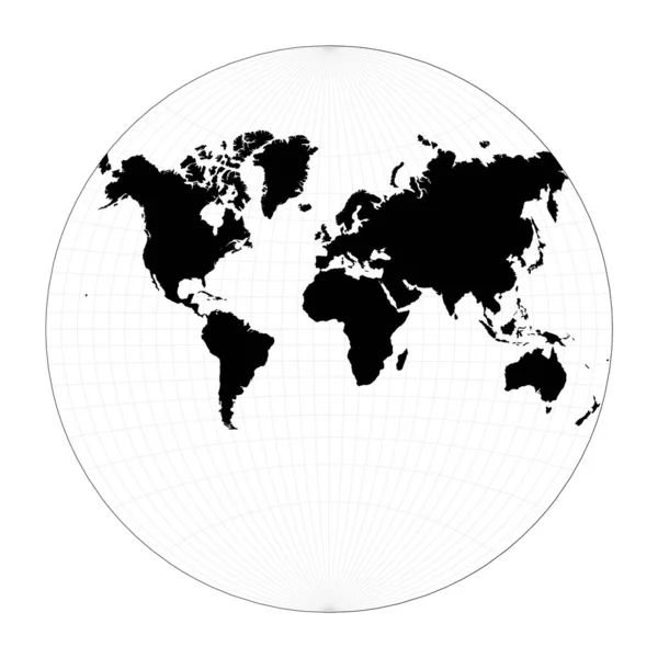
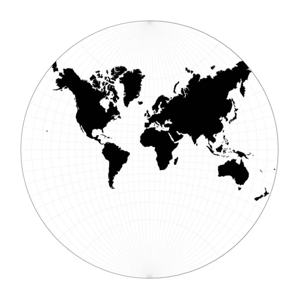
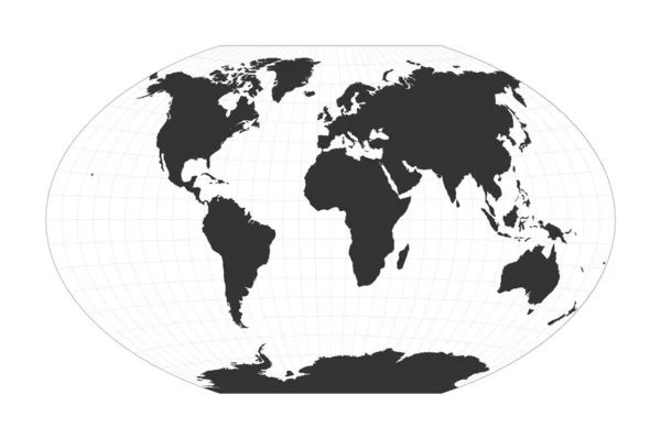
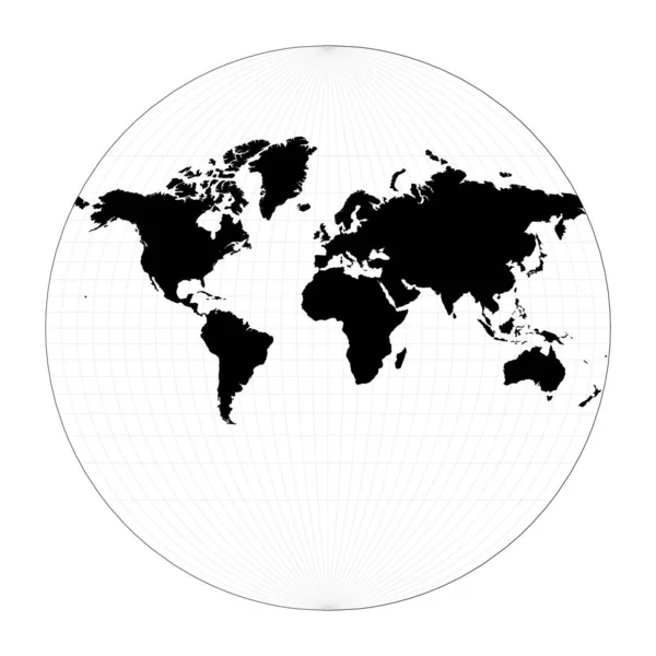
Stock vector Map of The World Van der Grinten II projection Globe with latitude and longitude net World map on
Published:
Jan.16, 2021 09:13:51
Author:
gagarych
Views:
4
Downloads:
0
File type:
vector
/
eps
File size:
1.58 MB
Orginal size:
5491
x
5491
px
Available sizes:
S
(500 x 500)
M
(1000 x 1000)
L
(2000 x 2000)
XL
(5491 x 5491)
VECT
(5491 x 5491)
EL0
(5491 x 5491)
Level:
bronze
Download Vector
Vector topics:
Bar
White
Vector
Background
Graphic
Illustration
Design
Isolated
Shape
Decoration
Art
Travel
Abstract
Silhouette
Creative
Stylish
Global
Flat
Information
Presentation
Earth
Planet
World
Artwork
Van
Landmark
Globe
Navigation
Layout
Outline
Map
Cartography
Geography
Latitude
Longitude
Continent
Land
Chart
Boundary
Destination
Gps
Atlas
Meridian
Coordinates
Geo
Parallels
Der
Infographics
Grinten
Van Der Grinten 2
Similar stock vectors
Vector World Map. Van Der Grinten Projection. Plan World Geographical Map With Graticlue Lines. Vector Illustration.
5485 × 5485
Map Of The World Illustration Lagrange Conformal Projection Plan World Geographical Map With
5488 × 5488
Map Of The World Winkel Tripel Projection Globe With Latitude And Longitude Net World Map On
6743 × 4482
Map Of The World Illustration. Van Der Grinten III Projection. Plan World Geographical Map With Graticlue Lines. Vector Illustration.
5482 × 5482
Map Of The World Airys Minimumerror Azimuthal Projection Globe With Latitude And Longitude Net
5485 × 5485
World Map Continents. Aitoff Projection. Attractive Vector Illustration.
7533 × 3995
Map Of The World Wagner VI Projection Globe With Latitude And Longitude Net World Map On
7272 × 4137
Map Of The World Modified Stereographic Projection For Europe And Africa Globe With Latitude And
5796 × 5200