Home
Images
Vectors
Videos
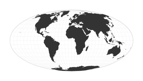
Stock vector Map of The World Lambert azimuthal equalarea projection Globe with latitude and longitude net
Published:
Jan.16, 2021 09:14:16
Author:
gagarych
Views:
35
Downloads:
3
File type:
vector
/
eps
File size:
1.61 MB
Orginal size:
5482
x
5482
px
Available sizes:
S
(500 x 500)
M
(1000 x 1000)
L
(2000 x 2000)
XL
(5482 x 5482)
VECT
(5482 x 5482)
EL0
(5482 x 5482)
Level:
bronze
Download Vector
Vector topics:
White
Vector
Background
Graphic
Illustration
Design
Isolated
Shape
Beautiful
Decoration
Travel
Abstract
Silhouette
Border
Global
Flat
Contour
Earth
Planet
World
Trendy
Artwork
Globe
Layout
Map
Geography
Latitude
Longitude
Area
Continent
Land
Graph
Boundary
Destination
Region
Equal
Info
Visualization
Gps
Territory
Statistic
Atlas
Meridian
Coordinates
Geo
Parallels
Infographics
Azimuthal
Infograph
Azimuthal Equal Area
Similar stock vectors
Vector World Map. Fahey Pseudocylindrical Projection. Plain World Geographical Map With Latitude And Longitude Lines. Centered To 60deg W Longitude. Vector Illustration.
6402 × 4719
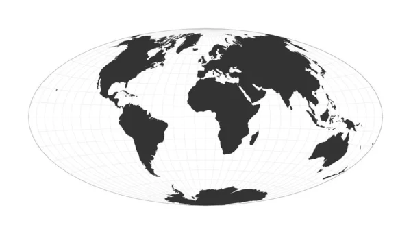
Map Of The World Hammer Projection Globe With Latitude And Longitude Net World Map On Meridians
7263 × 4132
Vector Earth Globe Focused On Europe Continent
6000 × 6000
Map Of The World Airys Minimumerror Azimuthal Projection Globe With Latitude And Longitude Net
5485 × 5485
Earth Globe. 3D World Map With White Lands Dropping Shadows On Light Grey Seas And Oceans. Vector Illustration
6000 × 6000
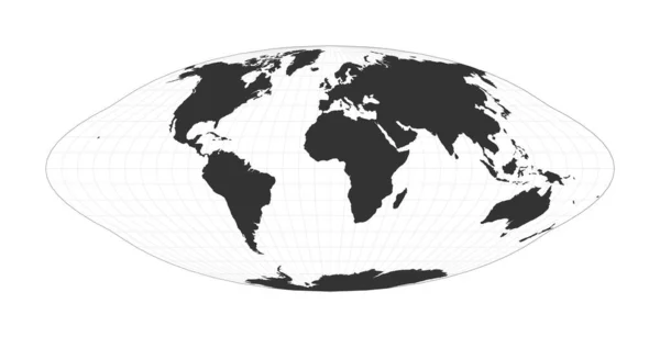
Map Of The World Equalarea Pseudocylindrical Mollweide Projection Globe With Latitude And
7265 × 4134
Map Of The World Pseudocylindrical Equalarea Goode Homolosine Projection Globe With Latitude And
7669 × 3923
World Map With Graticule Lines Chamberlin Projection For Africa Projection Plan World Geographical
5471 × 5506