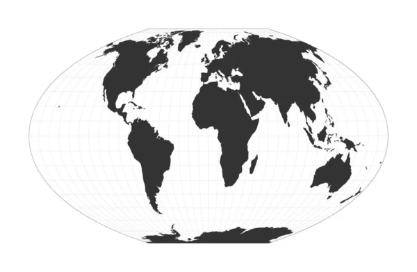
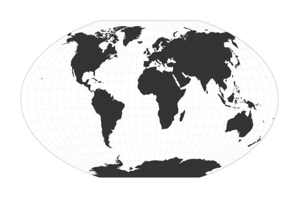
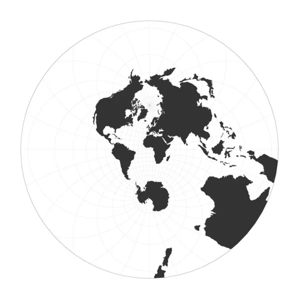
Stock vector Map of The World Airys minimumerror azimuthal projection Globe with latitude and longitude net

Published: Jan.22, 2021 07:44:52
Author: gagarych
Views: 2
Downloads: 0
File type: vector / eps
File size: 1.56 MB
Orginal size: 5485 x 5485 px
Available sizes:
Level: bronze
Similar stock vectors

Map Of The World Azimuthal Equidistant Projection Globe With Latitude And Longitude Net World Map
5498 × 5498
Map Of The World Stereographic Globe With Latitude And Longitude Net World Map On Meridians And
5499 × 5499

Map Of The World Lambert Azimuthal Equalarea Projection Globe With Latitude And Longitude Net
5482 × 5482

Map Of The World Van Der Grinten II Projection Globe With Latitude And Longitude Net World Map On
5491 × 5491

Map Of The World Modified Stereographic Projection For Europe And Africa Globe With Latitude And
5796 × 5200