Home
Images
Vectors
Videos
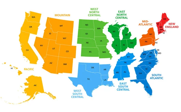
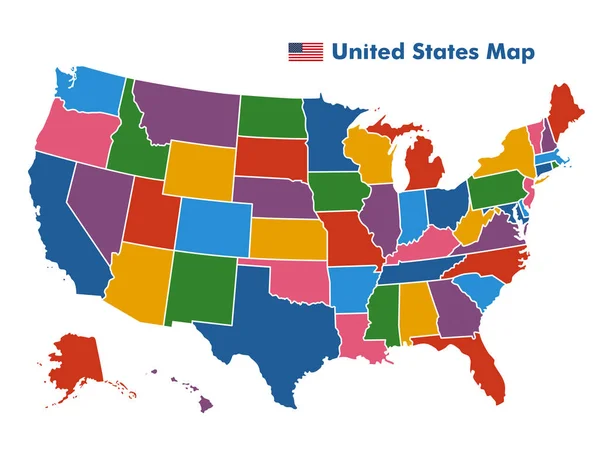
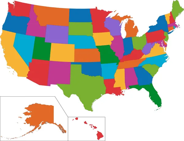
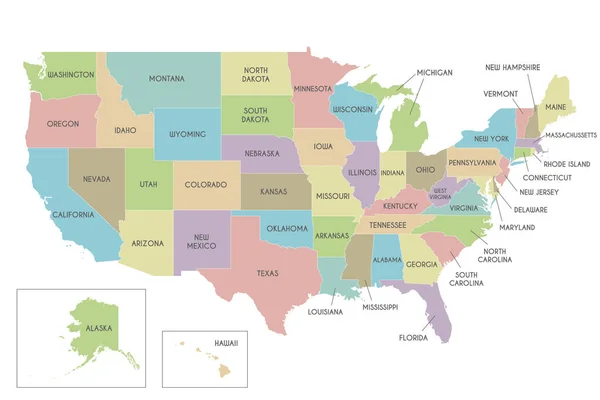
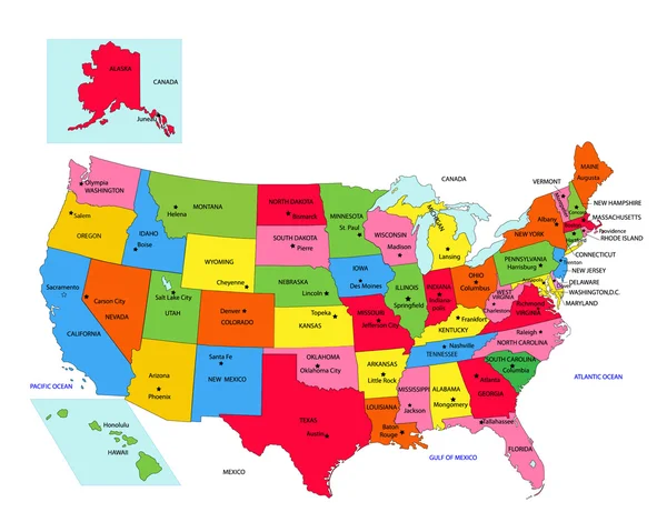
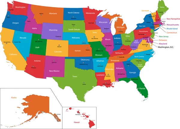
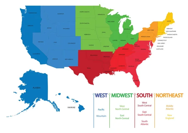
Stock vector Map of US regions. Maps USA
Published:
Dec.12, 2017 10:02:53
Author:
martinova4
Views:
1510
Downloads:
24
File type:
vector
/
eps
File size:
3.51 MB
Orginal size:
7087
x
5011
px
Available sizes:
S
(500 x 354)
M
(1000 x 707)
L
(2000 x 1414)
XL
(7087 x 5011)
VECT
(7087 x 5011)
EL0
(7087 x 5011)
Level:
beginner
Download Vector
Vector topics:
Vector
Background
Colour
Silhouette
Wallpaper
Education
Earth
Usa
South
West
Map
Cartography
Geography
Hawaii
Mid
Separation
State
Texas
Nevada
Topography
America
Countries
Illustrations
Political
Administrative
Statistics
United
Official
Washington
Central
Population
Territory
California
Virginia
Florida
Nation
Midwest
Colorado
Travels
Northeast
Provinces
Regions
Philadelphia
Nebraska
Census
New York
Detailed Physical Map
Similar stock vectors
United States, Split Into Census Regions And Divisions, Political Map. Region Definition, Widely Used For Data Collection, Statistics And Analysis. Most Commonly Used Classification System. Vector.
9000 × 5608
Map America With States
5000 × 5000
Coiorful United States Map With State Borders, USA Map
5000 × 3864
USA Map
7004 × 5384
Vector Map Of USA With States And Administrative Divisions. Editable And Clearly Labeled Layers.
6000 × 4000
USA Map With Alaska And Hawaii Map, New Political Detailed Map, Separate Individual States, With State Names, Isolated On White Background 3D Vector
5254 × 3000
USA 50 States With State Names And Capital
2500 × 2000
Colorful USA Map
7474 × 5384