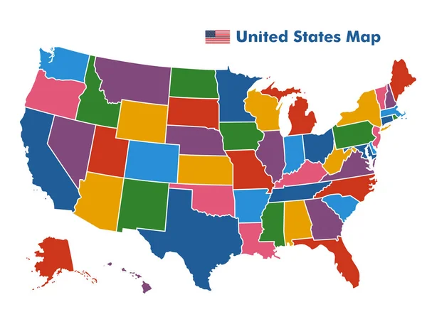
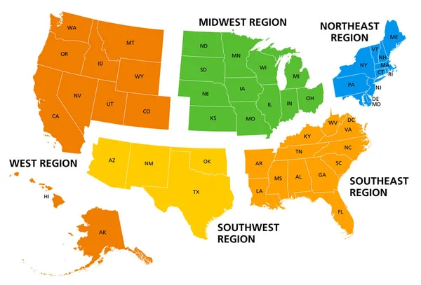
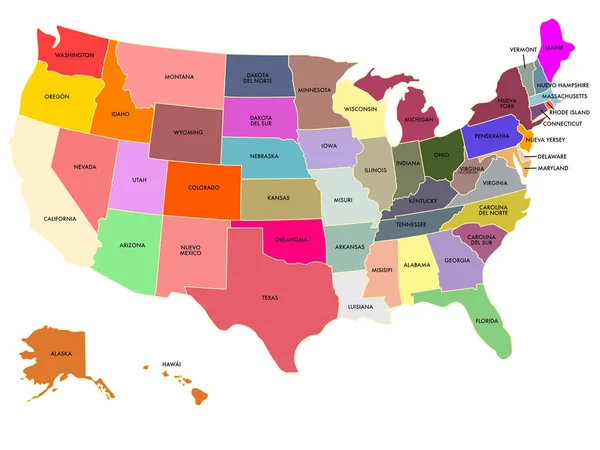
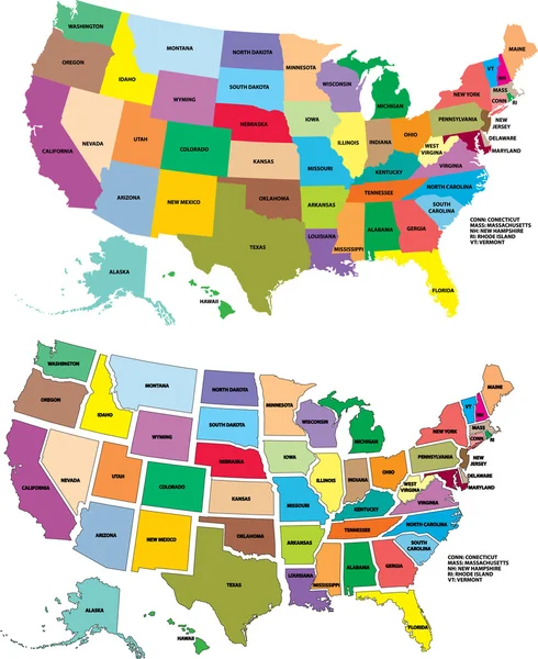
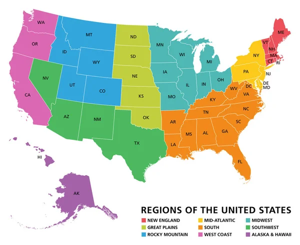
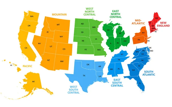
Stock vector United States, split into Census regions and divisions, political map. Region definition, widely used for data collection, statistics and analysis. Most commonly used classification system. Vector.
Published: Jun.22, 2023 08:42:20
Author: Furian
Views: 61
Downloads: 4
File type: vector / eps
File size: 2.91 MB
Orginal size: 9000 x 5608 px
Available sizes:
Level: silver