Home
Images
Vectors
Videos
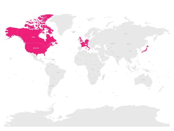
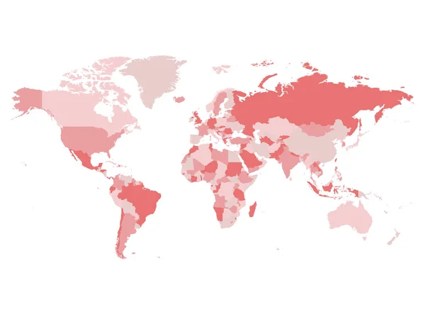
Stock vector Map of World in grey colors with red highlighted countries of North America. Vector illustration
Published:
Jun.07, 2018 11:14:02
Author:
pyty
Views:
17
Downloads:
0
File type:
vector
/
eps
File size:
1.37 MB
Orginal size:
6000
x
4000
px
Available sizes:
S
(500 x 333)
M
(1000 x 667)
L
(2000 x 1333)
XL
(6000 x 4000)
VECT
(6000 x 4000)
EL0
(6000 x 4000)
Level:
silver
Download Vector
Vector topics:
Red
Vector
Background
Graphic
Illustration
Design
Business
Label
Travel
Border
Modern
Gray
Pink
Global
Contour
Grey
Education
Earth
World
American
Us
Usa
North
Europe
South
Name
Country
Map
Cartography
Geography
National
Africa
Continent
Land
Worldwide
Asia
America
International
Australia
Political
Canada
Region
Atlas
Highlighted
Marked
Nation
Infographics
North America
United States
Political Map
Similar stock vectors
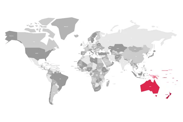
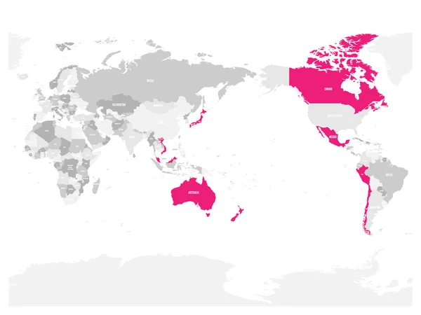
Map Of World In Grey Colors With Red Highlighted Countries Of Australia. Vector Illustration
6000 × 4000
Map Of Comprehensive And Progressive Agreement For Trans-Pacific Partnership, CPTPP Or TPP11. Pink Highlighted Member States. Vector Illustration
6000 × 4500
Map Of World In Grey Colors With Red Highlighted Countries Of Asia. Vector Illustration
6000 × 4000
Group Of Seven Countries, G7, Highlighted In The World Map. Vector Illustration
8000 × 6000
United States And China Highlighted On Political Map Of World. Vector Illustration
6000 × 4500
World Map With Highlighted Member Countries Of BRICS - Association Of Five Major Emerging National Economies - Brazil, Russia, India, China And South Africa
6000 × 4500
Map Of World In Grey Colors With Red Highlighted Countries Of Europe. Vector Illustration
6000 × 4000
World Map In Four Shades Of Pink On White Background. High Detail Blank Political Map. Vector Illustration With Labeled Compound Path Of Each Country
8000 × 6000