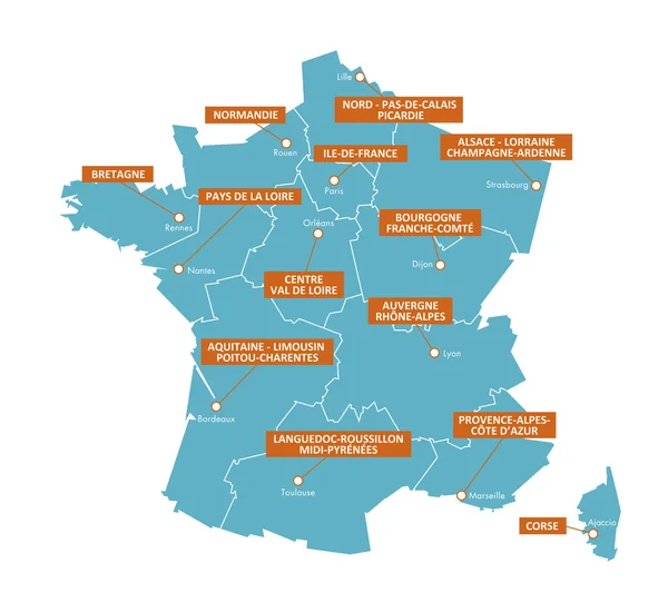
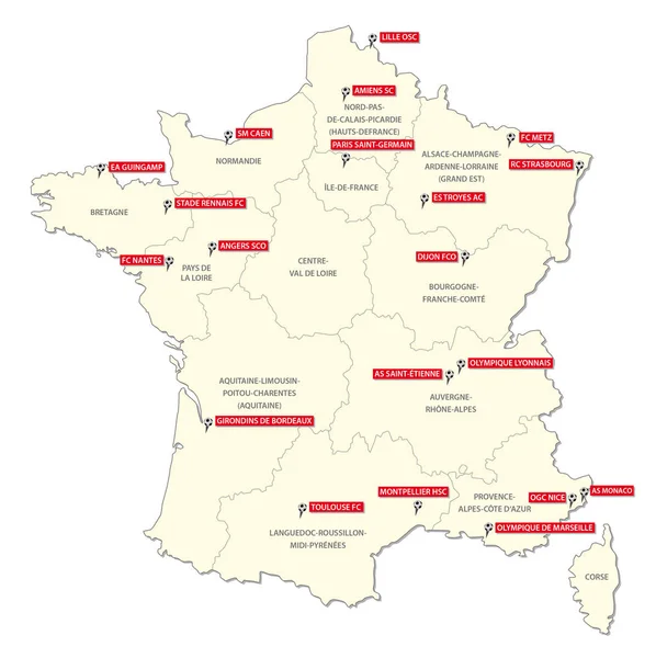
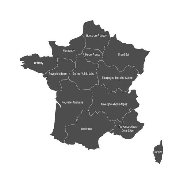
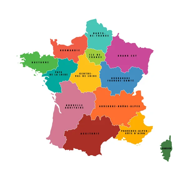
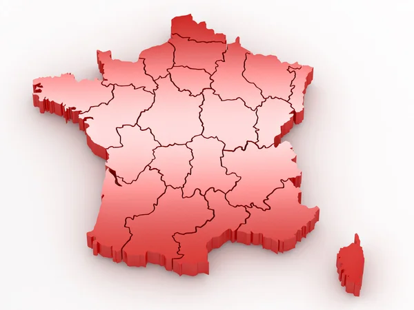
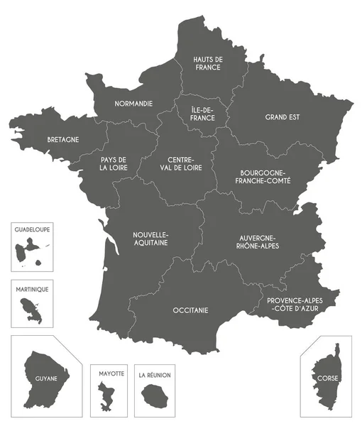
Stock vector Map regions of France + cities 4

Published: Jul.13, 2016 11:17:59
Author: brunpascal@laposte.net
Views: 30
Downloads: 0
File type: vector / ai
File size: 2.55 MB
Orginal size: 5000 x 4583 px
Available sizes:
Level: beginner