photo free
Home Images Vectors Videos

Stock vector Map United Kingdom. Poster map of contries of the United Kingdom. Black and white print map of United Kingdom for t-shirt, poster, print. Hand-drawn graphic map with countries. Vector Illustration

Stock vector Map United Kingdom. Poster map of contries of the United Kingdom. Black and white print map of United Kingdom for t-shirt, poster, print. Hand-drawn graphic map with countries. Vector Illustration
Published: Apr.10, 2020 08:07:15
Author: FoxysGraphic
Views: 18
Downloads: 1
File type: vector / eps
File size: 1.94 MB
Orginal size: 3743 x 5000 px
Available sizes:
S
(374 x 500)
M
(749 x 1000)
L
(1497 x 2000)
XL
(3743 x 5000)
VECT
(3743 x 5000)
EL0
(3743 x 5000)
Level: silver
Download Vector
Vector topics:

Similar stock vectors

stock vector Map United Kingdom. Poster map of countries of the United Kingdom. Black and white print map of United Kingdom for t-shirt, poster, print. Hand-drawn graphic map with countries. Vector Illustration

Map United Kingdom. Poster Map Of Countries Of The United Kingdom. Black And White Print Map Of United Kingdom For T-shirt, Poster, Print. Hand-drawn Graphic Map With Countries. Vector Illustration

4572 × 6000
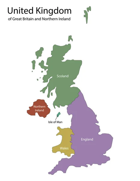
stock vector united kingdom map, england, scotland, wales, northern ireland, vector illustration

United Kingdom Map, England, Scotland, Wales, Northern Ireland, Vector Illustration

7000 × 8999
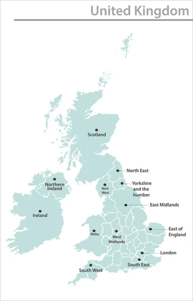
stock vector United Kingdom map illustration vector detailed United Kingdom map with state names

United Kingdom Map Illustration Vector Detailed United Kingdom Map With State Names

4101 × 6384
stock vector Outline map of United Kingdom. vector illustration.

Outline Map Of United Kingdom. Vector Illustration.

5000 × 5000
stock vector Black map of United Kingdom with names of regions, design blackboard vector

Black Map Of United Kingdom With Names Of Regions, Design Blackboard Vector

4100 × 4100
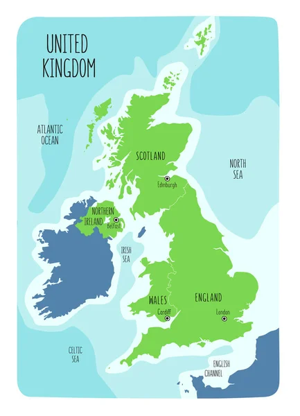
stock vector Hand drawn map of the United Kingdom including England, Wales, Scotland and Northern Ireland and their capital cities. Colorful hand drawn vector illustration.

Hand Drawn Map Of The United Kingdom Including England, Wales, Scotland And Northern Ireland And Their Capital Cities. Colorful Hand Drawn Vector Illustration.

6000 × 8302
stock vector Pixelated Pattern Map of Great Britain

Pixelated Pattern Map Of Great Britain

4089 × 3913
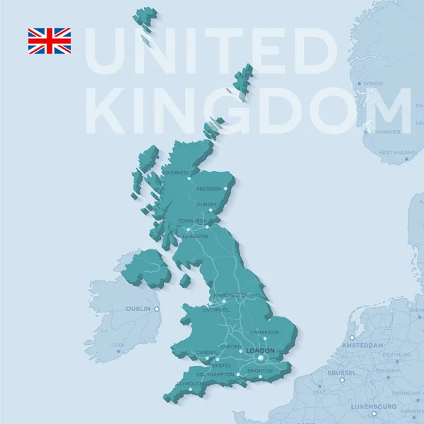
stock vector Map of cities and roads in United Kingdom.

Map Of Cities And Roads In United Kingdom.

4724 × 4724