Home
Images
Vectors
Videos
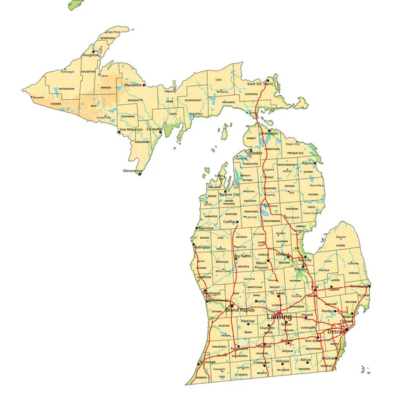
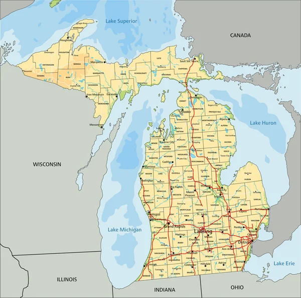
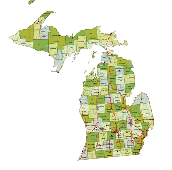
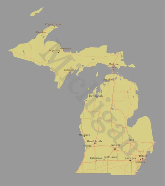
Stock vector Michigan detailed exact detailed vector State Map with Community Assistance and Activates Icons Original pastel yellow Illustration with main roads. United States of Americ
Published:
Jul.12, 2017 09:04:47
Author:
bugege
Views:
14
Downloads:
0
File type:
vector
/
eps
File size:
0.68 MB
Orginal size:
4906
x
5501
px
Available sizes:
S
(446 x 500)
M
(892 x 1000)
L
(1784 x 2000)
XL
(4906 x 5501)
VECT
(4906 x 5501)
EL0
(4906 x 5501)
Level:
bronze
Download Vector
Vector topics:
Green
Image
Red
Yellow
White
Blue
Vector
Background
Object
Graphic
Illustration
High
Nature
Transportation
Silhouette
Flag
Banner
3d
Symbol
Icon
City
Traditional
World
American
Usa
Tourism
Artwork
Detailed
North
Outline
Country
Compass
Map
Icons
Assistance
State
Accurate
America
United
Exact
Las
County
Michigan
Counties
Activates
High Detailed
States Map
Similar stock vectors
High Detailed Michigan Physical Map With Labeling.
5875 × 5808
Michigan
3392 × 3619
Colorful County Map With Counties Names Of The US Federal State Of Michigan
3600 × 4800
Shape Of Michigan, State Of Mainland United States, With Its Capital Isolated On A Solid Color Background. Colored Elevation Map. 3D Rendering
3717 × 3836
Michigan - Highly Detailed Editable Political Map With Labeling.
5872 × 5807
High Detailed Michigan Physical Map With Labeling.
5872 × 5807
Highly Detailed Editable Political Map With Separated Layers. Michigan.
5875 × 5808