Home
Images
Vectors
Videos
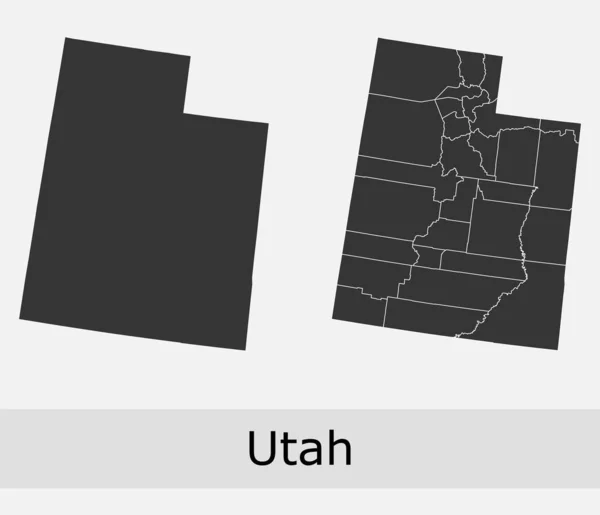
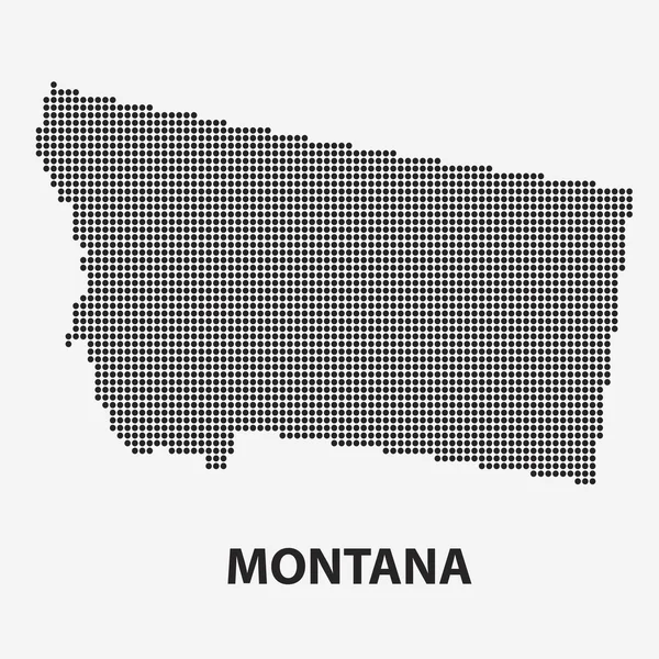
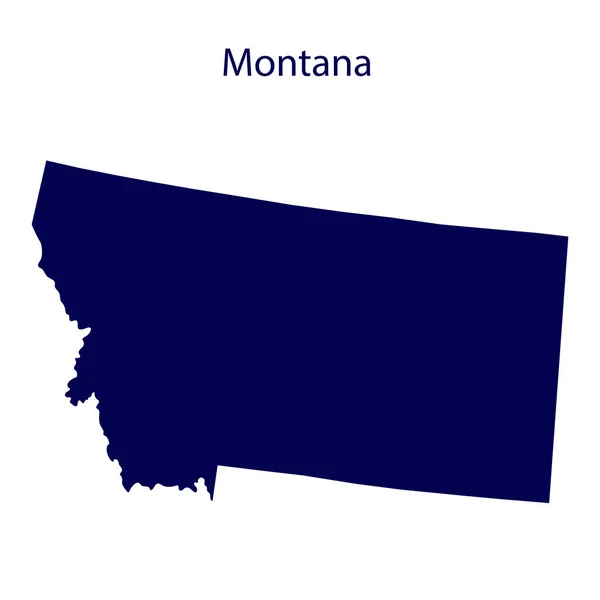
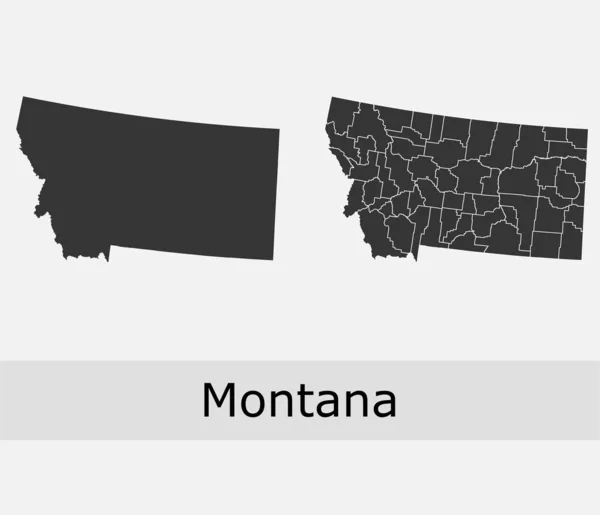
Stock vector Montana counties vector map
Published:
Jan.31, 2020 15:55:10
Author:
Litteralis
Views:
18
Downloads:
7
File type:
vector
/
eps
File size:
5.8 MB
Orginal size:
4701
x
4041
px
Available sizes:
S
(500 x 430)
M
(1000 x 860)
L
(2000 x 1719)
XL
(4701 x 4041)
VECT
(4701 x 4041)
EL0
(4701 x 4041)
Level:
bronze
Download Vector
Vector topics:
Color
Vector
Background
Graphic
Isolated
Shape
Line
Silhouette
Border
Lines
Contour
Grey
American
Us
Usa
Country
Map
Geography
Area
National
Land
State
America
Boundary
Government
Political
Administrative
Official
Territory
Nation
County
Divisions
Regional
Montana
Towns
Provinces
Regions
Helena
Counties
Departments
Municipalities
Billings
United States
Townships
Vector Map
Montana Map
Montana Vector
Montana Administrative
Montana Municipalities
Montana County
Similar stock vectors
US State Montana Map Highlighted In Montana Flag Colors
7071 × 5000
Utah Counties Vector Map
4719 × 4057
United States, Montana.
5000 × 5000
Dotted Map Of The State Montana. Vector Illustration.
6000 × 6000
United States, Montana. Dark Blue Silhouette Of The State On Its Borders.
8334 × 8334
Wyoming Counties Vector Map
4704 × 4045
Montana State Limit Sign And Map Of USA As Vector Illustration
5000 × 4000
Montana Map
5502 × 4426