
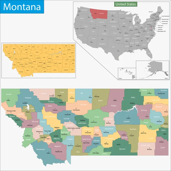
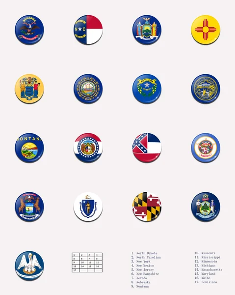
Stock image Montana Administrative

Vector Floral Design Horizontal Card Design. Soft Succulent, Cactus Flower Garden Eucalyptus Green Fern Seasonal Branches Leaves Mix. Greeting Invitation Wedding Editable. Frame Border With Copy Space
Vector, 0.77MB, 5001 × 3126 eps

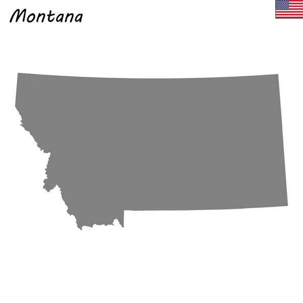
Montana State Outline Administrative And Political Map In Black And White
Vector, 0.83MB, 5274 × 4173 eps
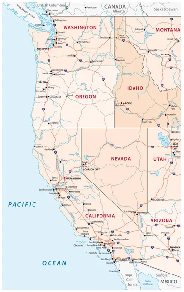
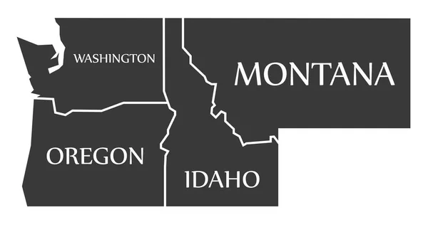
Roads, Political And Administrative Map Of The Western United States Of America
Vector, 2.16MB, 3100 × 4903 eps

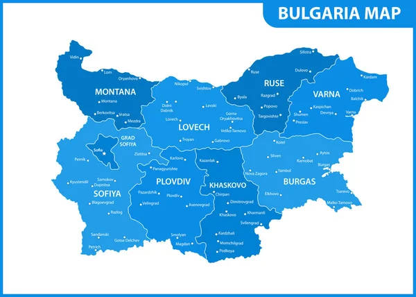
The Detailed Map Of Bulgaria With Regions Or States And Cities, Capital. Administrative Division
Vector, 0.95MB, 7000 × 5000 eps
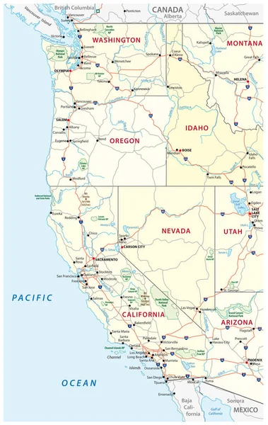
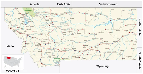
Roads, Political And Administrative Map Of The Western United States Of America With National Parks
Vector, 2.42MB, 3100 × 4903 eps

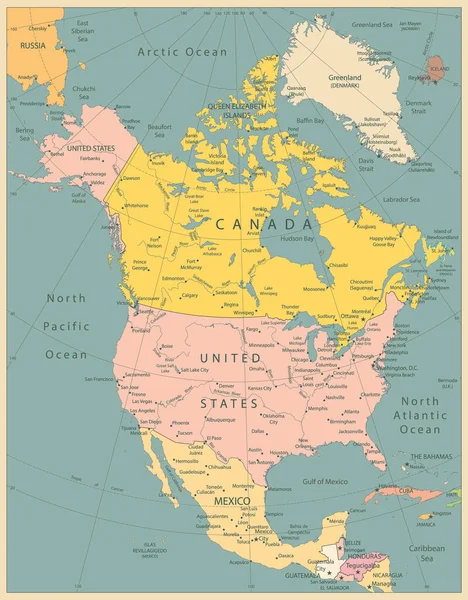
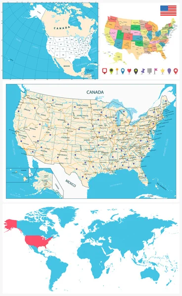
North America Political Map Vintage Colors. Highly Detailed Map. All Elements Are Separated In Editable Layers Clearly Labeled.
Vector, 12.9MB, 3767 × 4826 eps
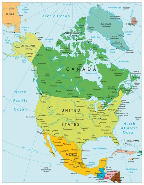
North America Political Map. Highly Detailed Map. All Elements Are Separated In Editable Layers Clearly Labeled. Vector
Vector, 12.15MB, 3767 × 4826 eps
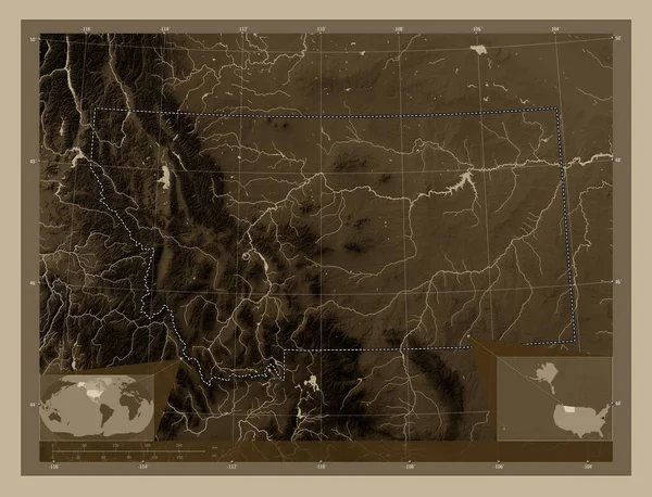
Montana, State Of United States Of America. Elevation Map Colored In Sepia Tones With Lakes And Rivers. Corner Auxiliary Location Maps
Image, 9.45MB, 4930 × 3770 jpg
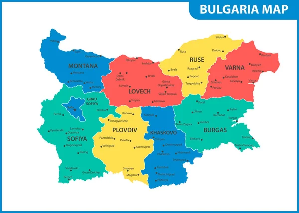
The Detailed Map Of Bulgaria With Regions Or States And Cities, Capital. Administrative Division
Vector, 0.94MB, 7000 × 5000 eps


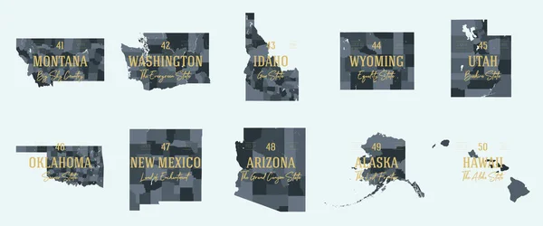
Vector Set 9 Of 10 Highly Detailed Silhouettes Of US State Maps, Divided Into Counties With Names And Territory Nicknames
Vector, 3.98MB, 9585 × 3348 eps

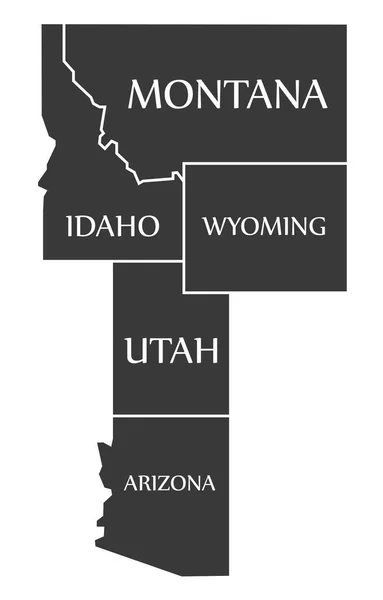
Typography Composition Of City Names, Silhouettes Maps Of The States Of America, Vector Detailed Posters, Division Mountain - Idaho, Montana, Wyoming - Set 15 Of 17
Vector, 2.61MB, 8896 × 4168 eps


Highly Detailed Vector Silhouettes Of US State Maps, Division United States Into Counties, Political And Geographic Subdivisions Of A States, Mountain - Nevada, Utah, Arizona - Set 15 Of 17
Vector, 6.16MB, 9608 × 4501 eps

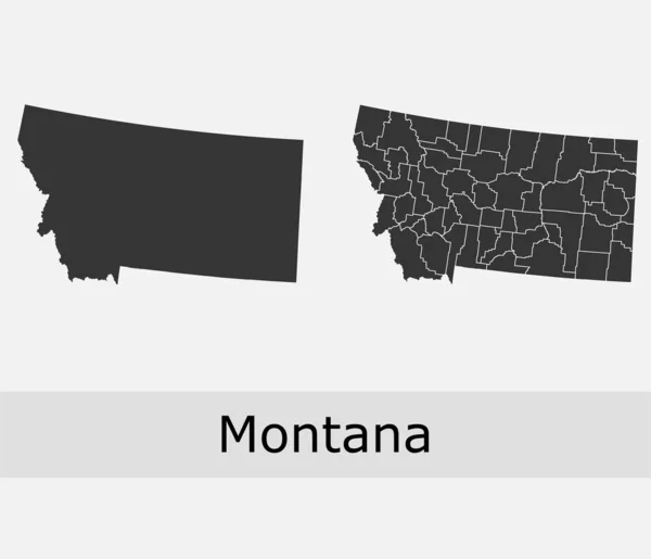
Montana, U.S. State, Subdivided Into 56 Counties, Political Map With Borders And County Names. State In The Mountain West Region Of The United States, Nicknamed Big Sky Country, And Treasure State.
Vector, 2.32MB, 9000 × 5355 eps

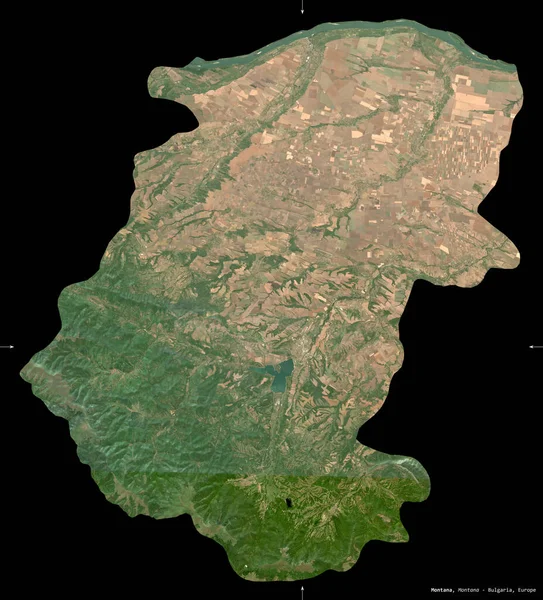
Montana, Province Of Bulgaria. Sentinel-2 Satellite Imagery. Shape Isolated On Black. Description, Location Of The Capital. Contains Modified Copernicus Sentinel Data
Image, 7.6MB, 3008 × 3324 jpg
Set 5 Of 5 Division United States Into Counties, Political And Geographic Subdivisions Of A States, Highly Detailed Vector Maps With Names And Territory Nicknames
Vector, 5.97MB, 9585 × 4010 eps

Symbol Map Of The State Montana (United States Of America) Showing The Outline Of The State As An Asphalt Surface
Image, 17.56MB, 6000 × 3555 jpg

Montana, U.S. State, Subdivided Into 56 Counties, Gray Political Map With Borders And County Names. State In The Mountain West Region Of United States, Nicknamed Big Sky Country, And Treasure State.
Vector, 2.14MB, 9000 × 5562 eps


Map Of The State Montana (United States Of America) Showing The Isolated Territory With Relief Representation, Water Bodies Like Seas, Rivers, Lakes And With Borders. No Labels At All.
Image, 2.55MB, 6000 × 3448 jpg

Symbol Map Of The State Montana (United States Of America) Showing The Territory Of The State As A Lawn Football Field
Image, 16.5MB, 6000 × 3555 jpg

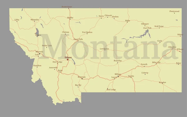
Montana, U.S. State, Multi Colored Political Map With Borders, County Names And Capital Helena. State In The Mountain West Region Of The United States, Subdivided Into 56 Counties. Big Sky Country
Vector, 2.16MB, 9000 × 5562 eps
Page 1 >> Next