Home
Images
Vectors
Videos
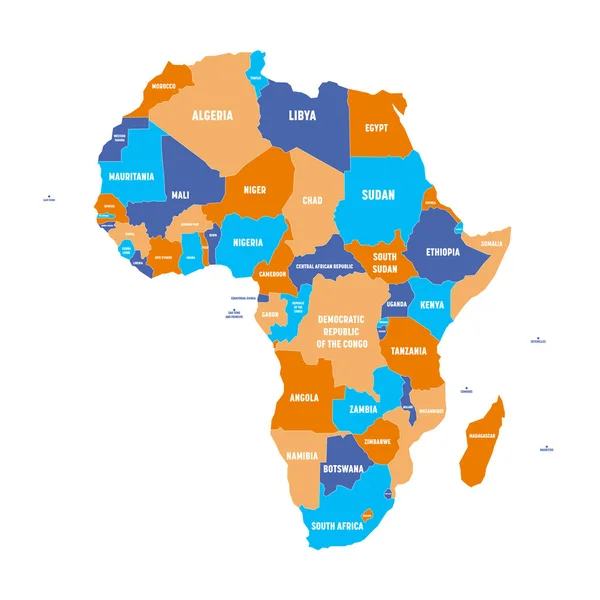
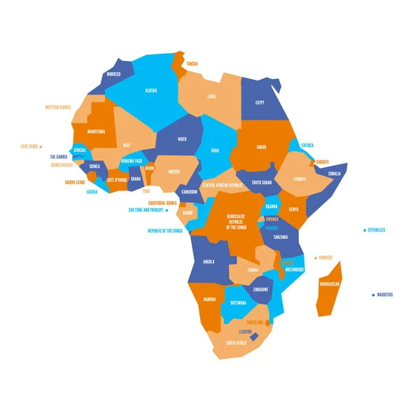
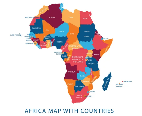
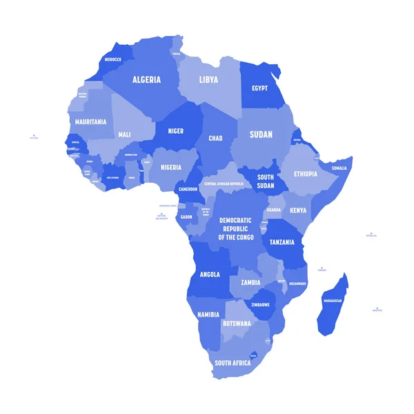
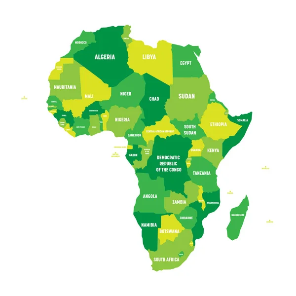
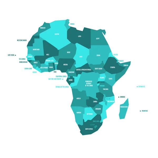
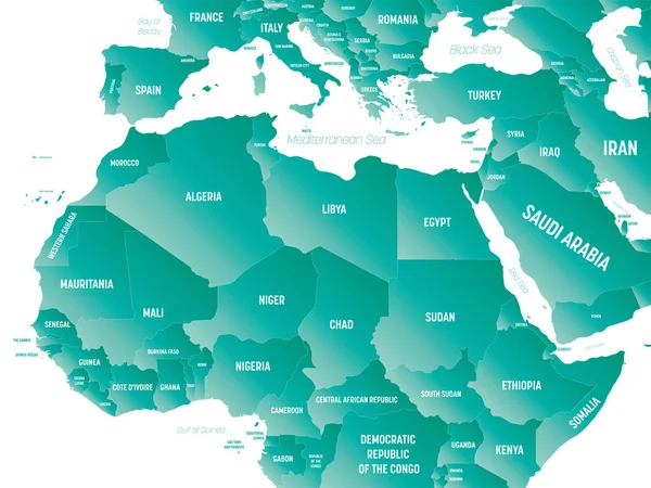
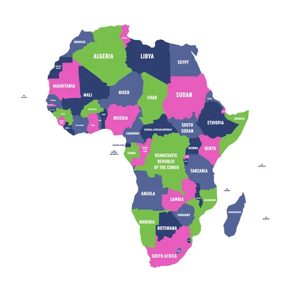
Stock vector Multicolored political map of Africa continent with national borders and country name labels on white background. Vector illustration
Published:
Jun.26, 2017 15:03:58
Author:
pyty
Views:
451
Downloads:
2
File type:
vector
/
eps
File size:
0.59 MB
Orginal size:
6000
x
6000
px
Available sizes:
S
(500 x 500)
M
(1000 x 1000)
L
(2000 x 2000)
XL
(6000 x 6000)
VECT
(6000 x 6000)
EL0
(6000 x 6000)
Level:
silver
Download Vector
Vector topics:
Green
White
Blue
Vector
Background
Graphic
Illustration
Design
Isolated
Business
Label
Travel
Abstract
Line
Silhouette
Border
Concept
Text
Flat
South
Name
Country
Map
Cartography
Geography
National
Africa
Algeria
Continent
Egypt
Land
Worldwide
Countries
International
Political
Kenya
Title
Atlas
Tunisia
Morocco
Libya
Somalia
Madagascar
Nigeria
Congo
Ethiopia
Political Map
Africa Map
Map Of Africa
Map Africa
Similar stock vectors
Multicolored Political Map Of Africa Continent With National Borders And Country Name Labels On White Background. Vector Illustration
6000 × 6000
Political Map Of Africa In Four Shades Of Turquoise Blue With White Country Name Labels On White Background. Vector Illustration
6000 × 6000
Very Simplified Infographical Political Map Of Africa. Simple Geometric Vector Illustration
6000 × 6000
Vector Illustration Design Of Continent Africa Map With Countries Name And Border,for Website,template,wallpaper,brochure,leaflet,flyer,banner,presentation,projects
5238 × 4286
Political Map Of Africa In Four Shades Of Green With White Country Name Labels On White Background. Vector Illustration
6000 × 6000
Political Map Of Africa In Four Shades Of Green With White Country Name Labels On White Background. Vector Illustration
6000 × 6000
Very Simplified Vector Infographical Political Map Of Africa
6000 × 6000
Northern Africa - High Detailed Political Map Of Northern African Rgion With Country, Ocean And Sea Names Labeling.
8000 × 6000