Home
Images
Vectors
Videos
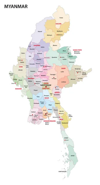
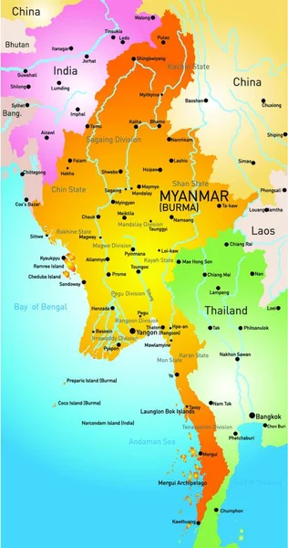
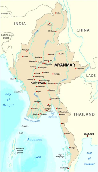
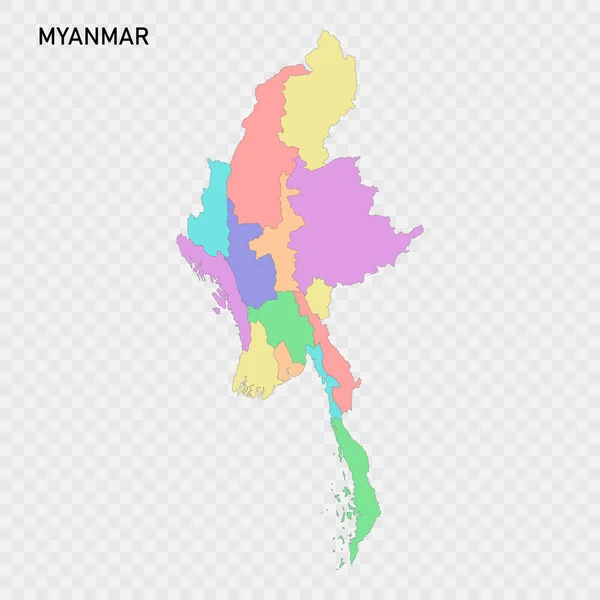
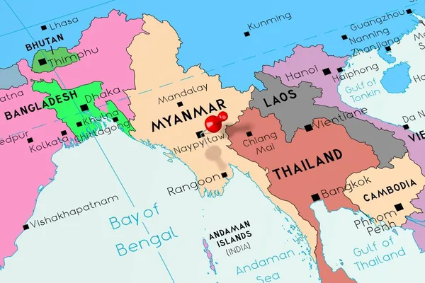
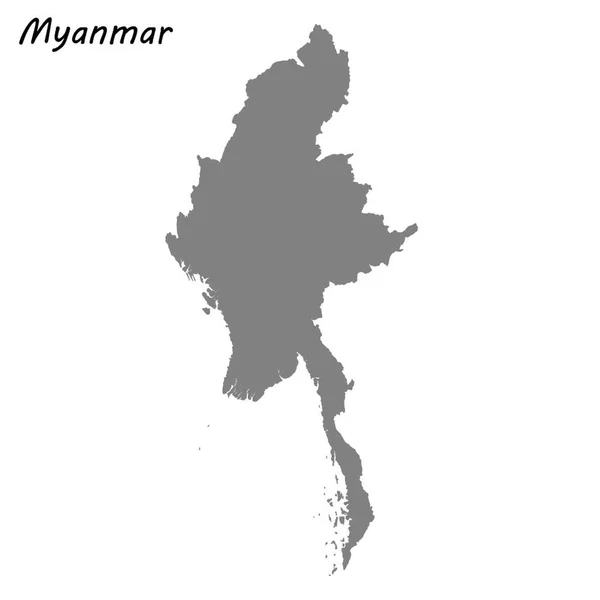
Stock vector myanmar administrative map with regions and districts
Published:
Dec.08, 2021 11:56:37
Author:
PantherMediaSeller
Views:
72
Downloads:
0
File type:
vector
/
zip
File size:
0 MB
Orginal size:
3627
x
4000
px
Available sizes:
S
(453 x 500)
M
(907 x 1000)
L
(1814 x 2000)
XL
(3627 x 4000)
VECT
(3627 x 4000)
EL0
(3627 x 4000)
Level:
platinum
Download Vector
Vector topics:
With
District
Map
Administrative
Region
And
Districts
Myanmar
Regions
Burma
Similar stock vectors
Myanmar Administrative Map With Regions And Districts
3100 × 5740
Illustration Of The Map Myanmar
2641 × 5000
Republic Of The Union Of Myanmar Vector Map With Major Cities
3677 × 4000
Isolated Colored Map Of Myanmar With Borders Of The Regions
4000 × 4000
Mosaic Myanmar Map Of Square Items
3400 × 5333
Maps Of Northern Thailand With 9 Province, Chiang Mai, Chiang Rai, Phrae, Phayao, Lampang, Maehhongson, Uttaradit, Lamphun, Nan And Focus On Nan With Red Colour And White Pin Map
2000 × 2000
Myanmar (Burma), Naypyitaw - Capital City, Pinned On Political M
6000 × 4000
High Quality Map Of Myanmar . Vector Illustration
4000 × 4000