Home
Images
Vectors
Videos
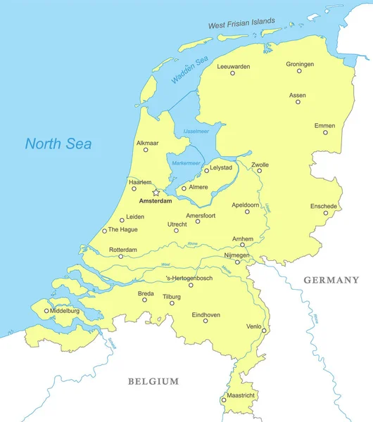
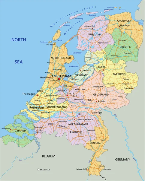
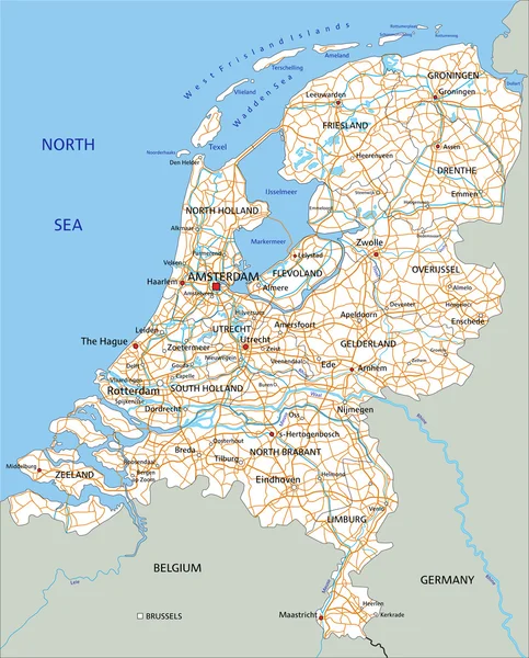
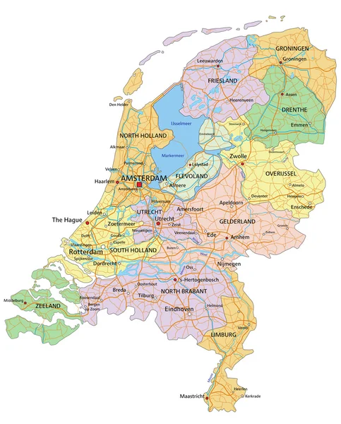
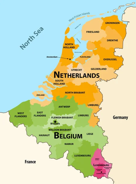
Stock vector Netherlands - political map with separated layers.
Published:
Jul.02, 2015 19:02:22
Author:
delpieroo
Views:
210
Downloads:
6
File type:
vector
/
eps
File size:
11 MB
Orginal size:
4575
x
5673
px
Available sizes:
S
(403 x 500)
M
(806 x 1000)
L
(1613 x 2000)
XL
(4575 x 5673)
VECT
(4575 x 5673)
EL0
(4575 x 5673)
Level:
bronze
Download Vector
Vector topics:
Green
Blue
Vector
Background
Colored
Illustration
Shape
Label
Travel
Apple
European
Road
Pastel
City
Contour
Holland
Ocean
Capital
Europe
Olive
Shade
Print
Outline
Country
Map
Cartography
Geography
Continent
Germany
Land
Topography
Island
Political
Atlantic
Politics
Geographic
Eu
Lime
Editable
Territory
Belgium
Atlas
Dutch
Amsterdam
Rotterdam
Mapping
Rivers
Benelux
Groningen
Netherlands Netherland Nederland
Similar stock vectors
Political Map - Netherlands.
4575 × 5673
Political Map Of Netherlands With National Borders, Cities And Rivers
4000 × 4520
Netherlands - Political Map With Separated Layers.
4575 × 5673
Netherlands Road Map With Labeling.
4575 × 5673
Netherlands - Political Map
4572 × 5670
Vector Regions Map Of Benelux Countries: Belgium, Netherlands And Luxembourg, With Neighbouring Countries And Territories
6156 × 8333
Netherlands - Map And Flag Illustration
5900 × 6712
Netherlands - Political Map
4575 × 5673