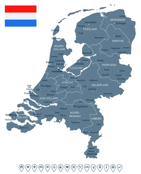
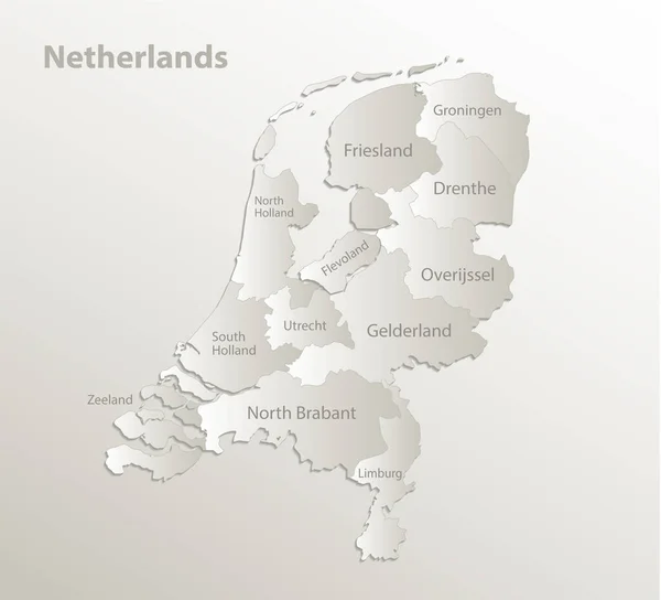
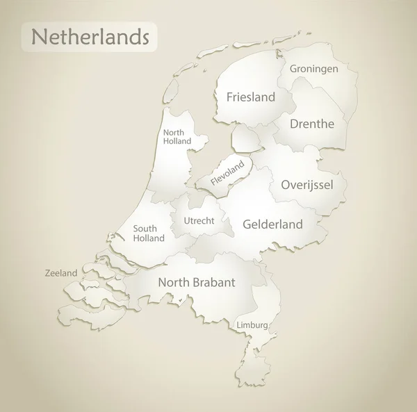
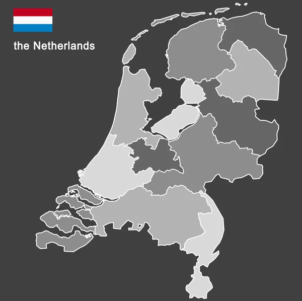
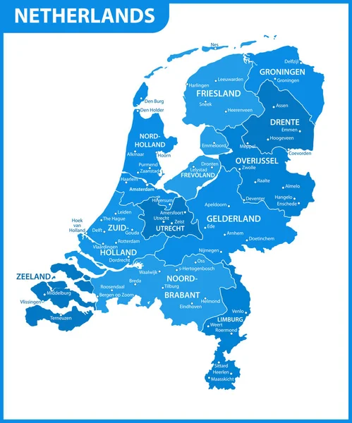
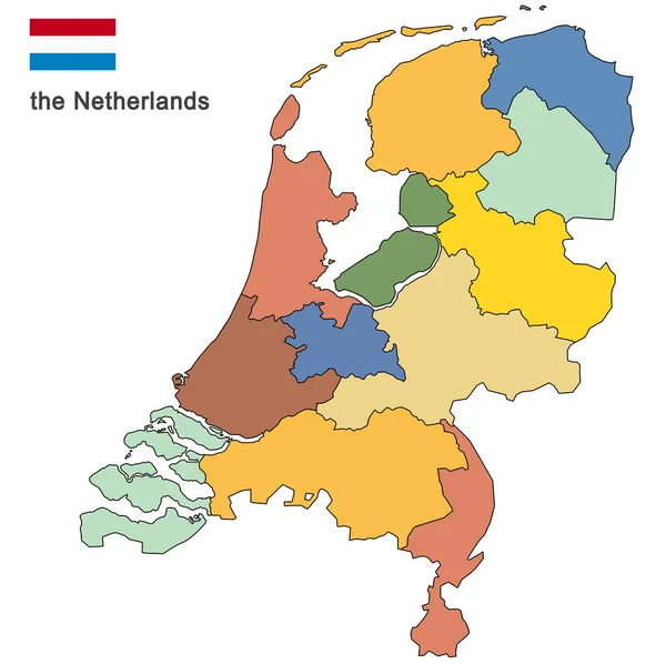
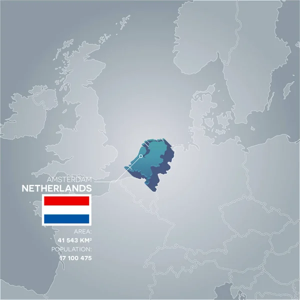
Stock vector Netherlands information map.
Published: Jul.12, 2017 12:37:43
Author: Snyde
Views: 1
Downloads: 0
File type: vector / eps
File size: 3.8 MB
Orginal size: 4730 x 4730 px
Available sizes:
Level: beginner