Home
Images
Vectors
Videos
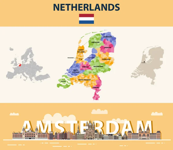
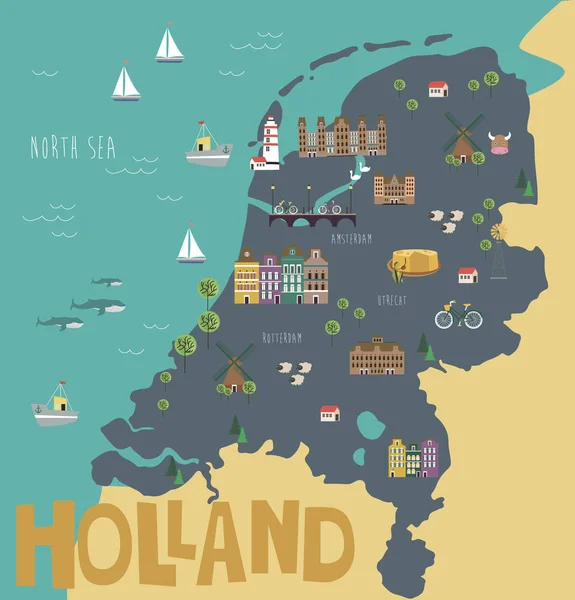
Stock vector Netherlands local municipalities map colored by provinces. Amsterdam cityscape colorful poster. Vector illustration
Published:
Mar.23, 2020 11:30:21
Author:
Jktu_21
Views:
10
Downloads:
0
File type:
vector
/
eps
File size:
11.63 MB
Orginal size:
7292
x
6302
px
Available sizes:
S
(500 x 432)
M
(1000 x 864)
L
(2000 x 1728)
XL
(7292 x 6302)
VECT
(7292 x 6302)
EL0
(7292 x 6302)
Level:
silver
Download Vector
Vector topics:
Vector
Background
View
Illustration
Design
Travel
Silhouette
Flag
Banner
Concept
Architecture
City
Facade
Urban
Street
Netherlands
Tourism
Panorama
Cityscape
Town
Capital
Panoramic
Skyline
Europe
Country
Map
Cartography
Geography
Land
Buildings
Poster
Region
Atlas
Rooftop
Province
Amsterdam
Almere
Limburg
Zeeland
Friesland
Drenthe
Groningen
Flevoland
Municipalities
Overijssel
South Holland
North Holland
North Brabant
The Hague
Tilburg
Similar stock vectors
Netherlands Map With Flag And English Label
5000 × 5000
Vector Outline Icons Of Netheralnds Cities Skylines
8334 × 7545
Vector Cartoon Map Of Netherlands With Main Attractions And Landmarks.
5000 × 5000
Detailed Vector Map Of Netherlands And Capital City Amsterdam
5867 × 5867
Illustration Map Of Holland
2688 × 2800
Vector Flat Style Illustration Of Netherlands Map With Holland National Cultural Symbols.
4167 × 4167
Netherlands Handdrawn Map Colourful Sketchy Country Outline Unequaled Netherlands Map With
5485 × 5485
Kingdom Of The Netherlands Map
10417 × 8334