Home
Images
Vectors
Videos
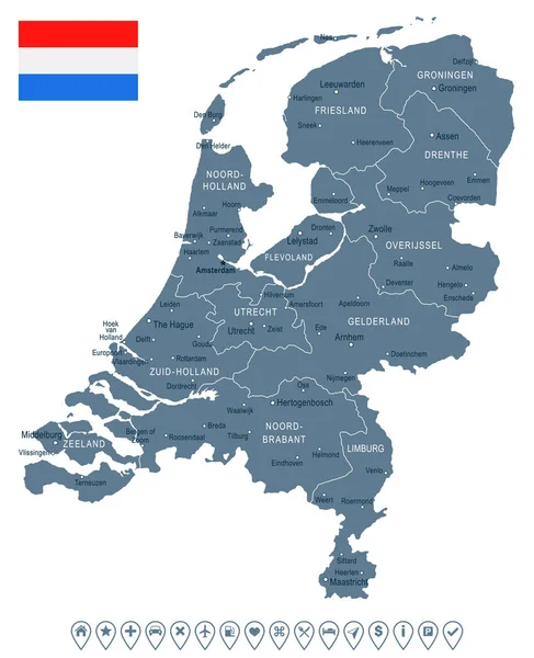
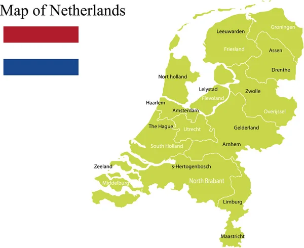
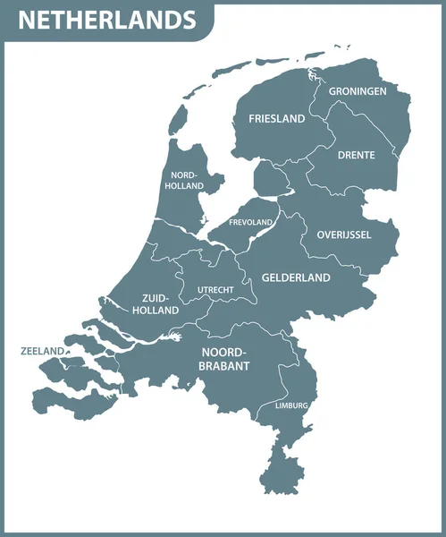
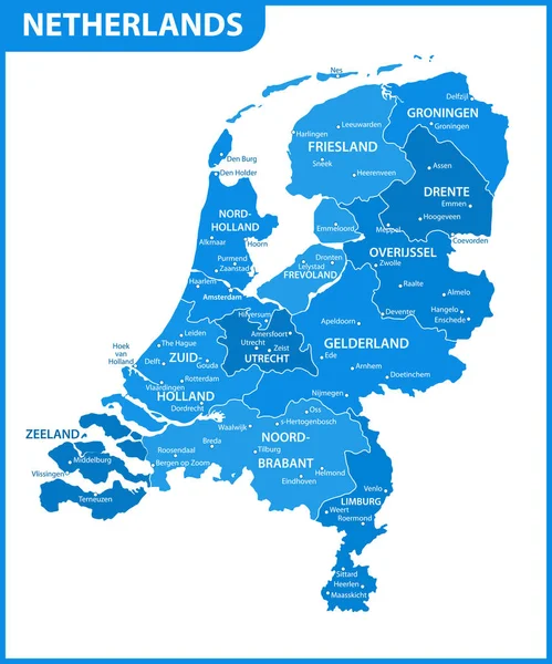
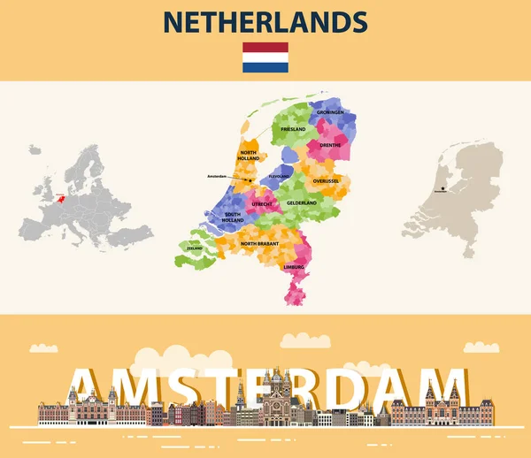
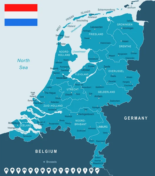
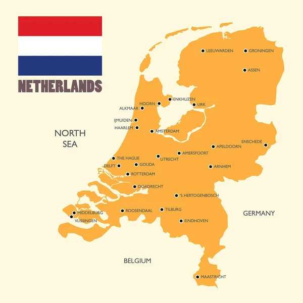
Stock vector Netherlands map with flag and english label
Published:
Nov.01, 2017 11:27:20
Author:
siraanamwong
Views:
31
Downloads:
0
File type:
vector
/
eps
File size:
2.95 MB
Orginal size:
5000
x
5000
px
Available sizes:
S
(500 x 500)
M
(1000 x 1000)
L
(2000 x 2000)
XL
(5000 x 5000)
VECT
(5000 x 5000)
EL0
(5000 x 5000)
Level:
bronze
Download Vector
Vector topics:
Image
Vector
Background
Illustration
Design
Label
Travel
Orange
Sea
European
Old
Flag
Digital
Network
Earth
Planet
Netherlands
Landmark
Europe
East
South
Name
Journey
Country
West
Map
Geography
Continent
Germany
Worldwide
State
International
Boundary
Union
Region
Amsterdam
Infographic
Similar stock vectors
Netherlands - Map And Flag Illustration
5900 × 7258
Detailed Vector Map Of Netherlands And Capital City Amsterdam
5867 × 5867
Netherlands Political Map Vector Illustration
2912 × 2380
Vector Hand Drawn Netherlands Cities Map. Netherlands Kingdom Travel Illustration. Geography Illustration. Europe Map Element
4000 × 4000
The Detailed Map Of Netherlands With Regions. Administrative Division.
5000 × 6000
The Detailed Map Of Netherlands With Regions Or States And Cities, Capital. Administrative Division.
5000 × 6000
Netherlands Local Municipalities Map Colored By Provinces. Amsterdam Cityscape Colorful Poster. Vector Illustration
7292 × 6302
Netherlands - Map And Flag Illustration
5900 × 6712