Home
Images
Vectors
Videos
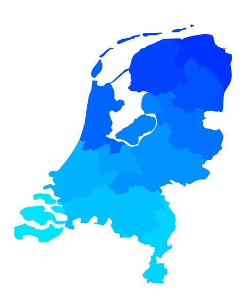
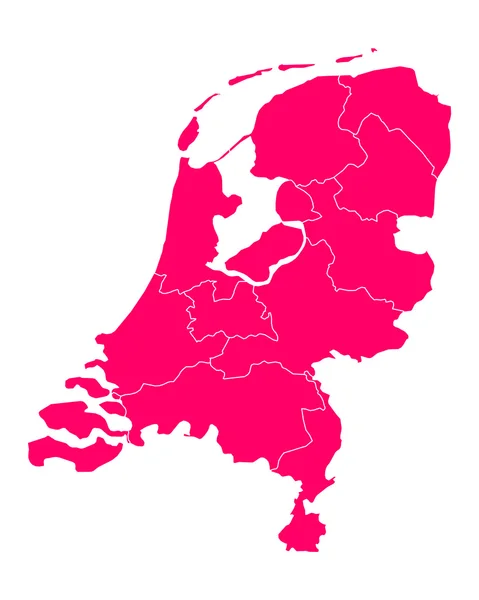
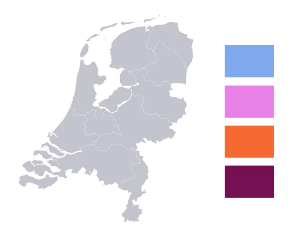
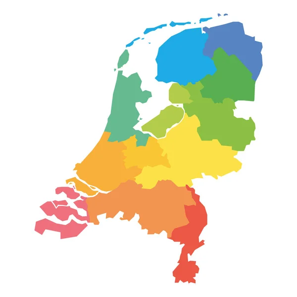
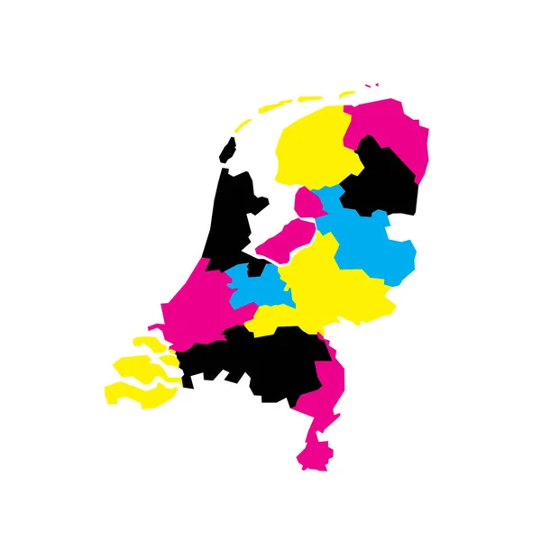
Stock vector Netherlands political map of administrative divisions - provinces. Blank vector map in CMYK colors.
Published:
Apr.23, 2023 07:32:17
Author:
pyty
Views:
1
Downloads:
1
File type:
vector
/
eps
File size:
0.25 MB
Orginal size:
8000
x
8000
px
Available sizes:
S
(500 x 500)
M
(1000 x 1000)
L
(2000 x 2000)
XL
(8000 x 8000)
VECT
(8000 x 8000)
EL0
(8000 x 8000)
Level:
silver
Download Vector
Vector topics:
Color
Yellow
Vector
Colorful
Illustration
Design
Border
Blank
Netherlands
Holland
Detailed
Europe
Country
District
Map
Cartography
Geography
Area
National
Land
Unit
State
Sovereign
Cyan
Boundary
Government
Political
Administrative
Department
Region
Division
Federal
Cmyk
Magenta
Local
Province
Dutch
Nation
Amsterdam
Subdivision
Geographical
Regional
Divided
Autonomy
Entity
Autonomous
Limburg
Unitary
Infographic
Netherlandic
Similar stock vectors
Infographics Netherlands Map, Flat Design Colors, Individual Regions, Blue Background With Orange Points Blank
4728 × 4000
Map Of The Netherlands
4000 × 5000
Map Of The Netherlands
4000 × 5000
Map Of Thr Netherlands
4000 × 5000
Infographics Of Netherlands Map, Individual Region Blank
5091 × 4000
Netherlands - Map Of Provinces
6000 × 6000
Map Of The Netherlands
4000 × 5000
Netherlands Icon With Color Variations
5688 × 5285