photo free
Home Images Vectors Videos

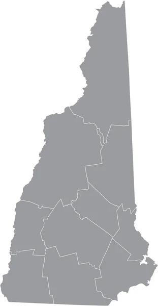
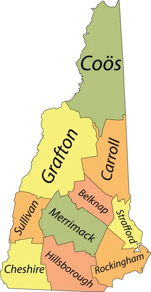
Stock vector New Hampshire state counties, gray political map. New Hampshire, a state in the New England region of the Northeastern United States, subdivided into 10 counties. Map with boundaries and county names.

Stock vector New Hampshire state counties, gray political map. New Hampshire, a state in the New England region of the Northeastern United States, subdivided into 10 counties. Map with boundaries and county names.
Published: Jun.17, 2024 18:29:35
Author: Furian
Views: 0
Downloads: 0
File type: vector / eps
File size: 1.4 MB
Orginal size: 5107 x 9000 px
Available sizes:
S
(284 x 500)
M
(567 x 1000)
L
(1135 x 2000)
XL
(5107 x 9000)
VECT
(5107 x 9000)
EL0
(5107 x 9000)
Level: silver
Download Vector
Vector topics:

Similar stock vectors

stock vector Gray vector map of the Federal State of New Hampshire, USA with white borders of its counties

Gray Vector Map Of The Federal State Of New Hampshire, USA With White Borders Of Its Counties

3583 × 6907
stock vector High Quality map of New Hampshire is a state of United States of America with borders of the counties

High Quality Map Of New Hampshire Is A State Of United States Of America With Borders Of The Counties

4000 × 4000
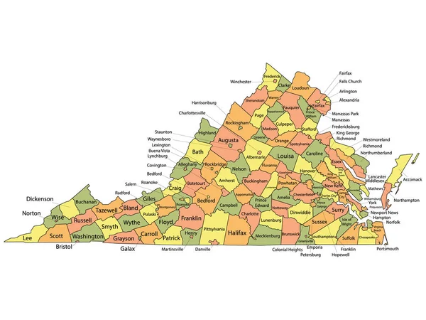
stock vector Colorful County Map With Counties Names of the US Federal State of Virginia

Colorful County Map With Counties Names Of The US Federal State Of Virginia

4800 × 3600
stock vector Map of New Hampshire

Map Of New Hampshire

4000 × 5000
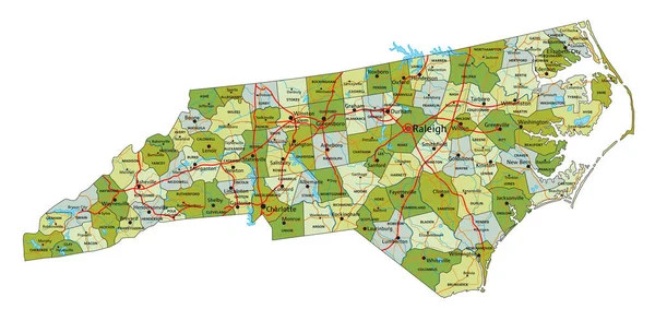
stock vector Highly detailed editable political map with separated layers. North Carolina.

Highly Detailed Editable Political Map With Separated Layers. North Carolina.

7313 × 3584
stock vector Colorful County Map With Counties Names of the US Federal State of New Hampshire

Colorful County Map With Counties Names Of The US Federal State Of New Hampshire

3600 × 4800
stock vector Pastel vector map of the Federal State of New Hampshire, USA with black borders and name tags of its counties

Pastel Vector Map Of The Federal State Of New Hampshire, USA With Black Borders And Name Tags Of Its Counties

3583 × 6907