
Stock image Subdivided


Minnesota Counties, Gray Political Map. Minnesota, A State In The Upper Midwestern Region Of The United States, Subdivided Into 87 Counties. Map With Boundaries And County Names. Illustration. Vector
Vector, 2.59MB, 6000 × 6781 eps

Nevada State Counties, Gray Political Map. Landlocked State In The Western Region Of The United States, Subdivided Into 16 Counties And Independent Carson City. Map With Boundaries And County Names.
Vector, 2.36MB, 6000 × 8605 eps

Florida State Counties, Gray Political Map. Florida, A State In The Southeastern Region Of The United States, Subdivided Into 67 Counties. Map With Boundaries And County Names. Illustration. Vector
Vector, 3.2MB, 6316 × 6000 eps

Pennsylvania Counties, Gray Political Map. Commonwealth Of Pennsylvania, A State Of The Mid-Atlantic And Northeastern United States, Subdivided Into 67 Counties. Map With Boundaries And County Names.
Vector, 2.09MB, 9000 × 5702 eps


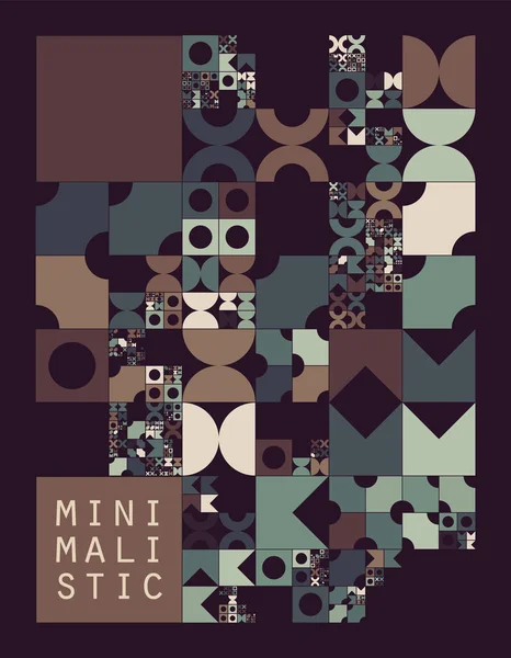
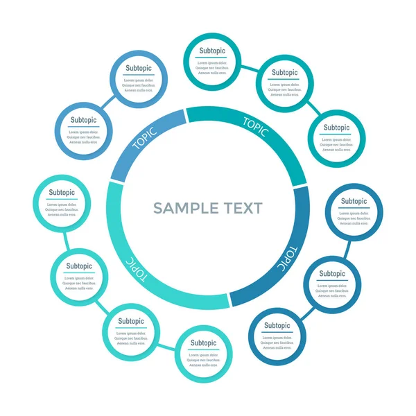
Subdivided Grid System With Symbols. Randomly Sized Objects With Fixed Space Between. Futuristic Minimalistic Layout. Conceptual Generative Background. Procedural Graphics. Creative Coding
Vector, 0.6MB, 6000 × 6000 eps


Housing Subdivision Or Housing Development Blur Background. Also Call Tract Housing Consist Of House In Large Tract Of Land That Divided Into Smaller. Business Process By Developer And Builder.
Image, 6.12MB, 5547 × 3698 jpg


Subdivided Grid System With Symbols. Randomly Sized Objects With Fixed Space Between. Futuristic Minimalistic Layout. Conceptual Generative Background. Procedural Graphics. Creative Coding
Vector, 0.95MB, 4667 × 6000 eps

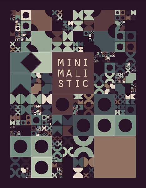
Subdivided Grid System With Symbols. Randomly Sized Objects With Fixed Space Between. Futuristic Minimalistic Colorful Layout. Conceptual Generative Background. Procedural Graphics. Creative Coding
Vector, 0.67MB, 4667 × 6000 eps


Minnesota Counties, Political Map. Minnesota, A State In The Upper Midwestern Region Of The United States, Is Subdivided Into 87 Counties. Map With Boundaries And County Names. Illustration. Vector
Vector, 3.17MB, 6000 × 6667 eps

Michigan Counties, Political Map. A State In The Great Lakes Region Of The Upper Midwest Of The United States, Subdivided Into 83 Counties. Map With Boundaries And County Names. Illustration. Vector
Vector, 4.09MB, 6000 × 6724 eps


Florida State Counties, Political Map. Florida, A State In The Southeastern Region Of The United States, Subdivided Into 67 Counties. Map With Boundaries And County Names. Illustration. Vector
Vector, 4.66MB, 6000 × 6000 eps

New Hampshire State Counties, Political Map. New Hampshire, A State In The New England Region Of The Northeastern United States, Is Subdivided Into Ten Counties. Map With Boundaries And County Names.
Vector, 2.12MB, 6000 × 9000 eps

Wisconsin Counties, Political Map. A State In The Great Lakes Region Of The Upper Midwest Of The United States, Subdivided Into 72 Counties. Map With Boundaries And County Names. Illustration. Vector
Vector, 3.54MB, 6000 × 6000 eps

Gray Sierpinski Triangle On Black Background. It Is A Fractal With The Overall Shape Of An Equilateral Triangle, Subdivided Recursively Into Smaller Equilateral Triangles. 3D Illustration
Image, 2.95MB, 6500 × 4000 jpg

State Of California Counties, Political Map. U.S. State Of California, Subdivided Into 58 Counties, With San Bernardino County As Largest And Los Angeles County As Most Populous In The United States.
Vector, 3.13MB, 6000 × 7108 eps

Pennsylvania Counties, Political Map. Commonwealth Of Pennsylvania, A State Of The Mid-Atlantic And Northeastern United States, Subdivided Into 67 Counties. Map With Boundaries And County Names.
Vector, 2.65MB, 9000 × 6000 eps

Wisconsin Counties, Gray Political Map. A State In The Great Lakes Region Of The Upper Midwest Of The United States, Subdivided Into 72 Counties. Map With Boundaries And County Names. Illustration
Vector, 2.82MB, 6000 × 6419 eps

Subdivided Grid System With Symbols. Randomly Sized Objects With Fixed Space Between. Futuristic Minimalistic Layout. Conceptual Generative Background. Procedural Graphics. Creative Coding
Vector, 0.89MB, 4667 × 6000 eps

Borscht Belt, Or Yiddish Alps, Political Map. A Colloquial Term For The Mostly Defunct Summer Resorts Of The Catskill Mountains And Parts Of Sullivan And Ulster Counties In The U.S. State Of New York.
Vector, 2.6MB, 7671 × 6000 eps

New York State Counties, Gray Political Map. New York, A State Of The Northeastern United States, One Of The Mid-Atlantic States, Subdivided Into 62 Counties. Map With Boundaries And County Names.
Vector, 2.59MB, 7671 × 6000 eps

New York State Counties, Political Map. New York, A State Of The Northeastern United States, One Of The Mid-Atlantic States, Is Subdivided Into 62 Counties. Map With Boundaries And County Names.
Vector, 3.54MB, 7636 × 6000 eps

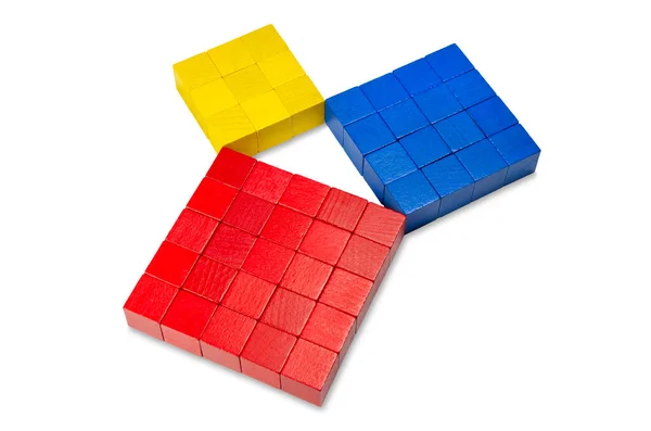
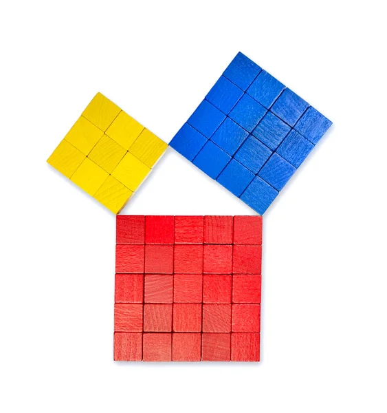
Pythagorean Theorem Shown With Colorful Wooden Cubes, Side View. Pythagoras Theorem. Relation Of Sides Of A Right Triangle. The Two Smaller Squares Together Have The Same Area Than The Big One. Photo.
Image, 4.69MB, 4928 × 3264 jpg

New Hampshire State Counties, Gray Political Map. New Hampshire, A State In The New England Region Of The Northeastern United States, Subdivided Into 10 Counties. Map With Boundaries And County Names.
Vector, 1.4MB, 5107 × 9000 eps

Beautiful Aerial View Of Apartment Complex Near Local Street With Sidewalk Surrounded By Colorful Autumn Leaves. Flyover Rental Housing Subdivided Unit Flats Near Dallas, Texas, USA
Image, 9.82MB, 4056 × 3040 jpg
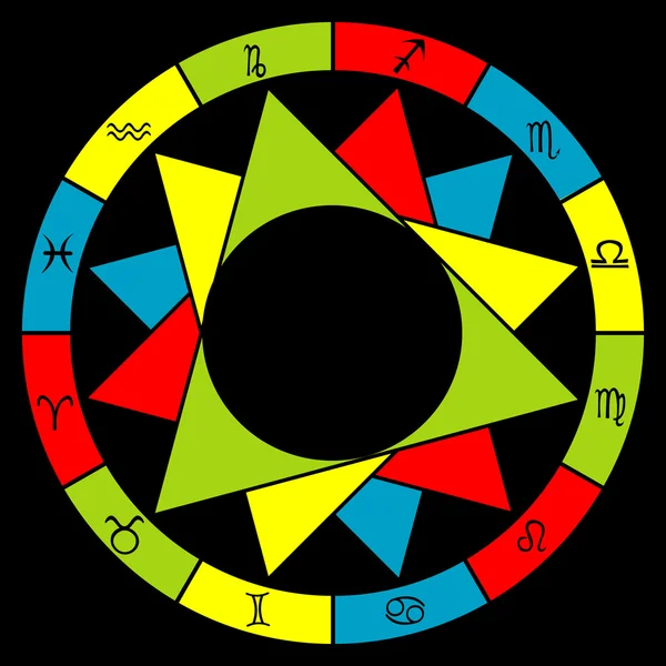
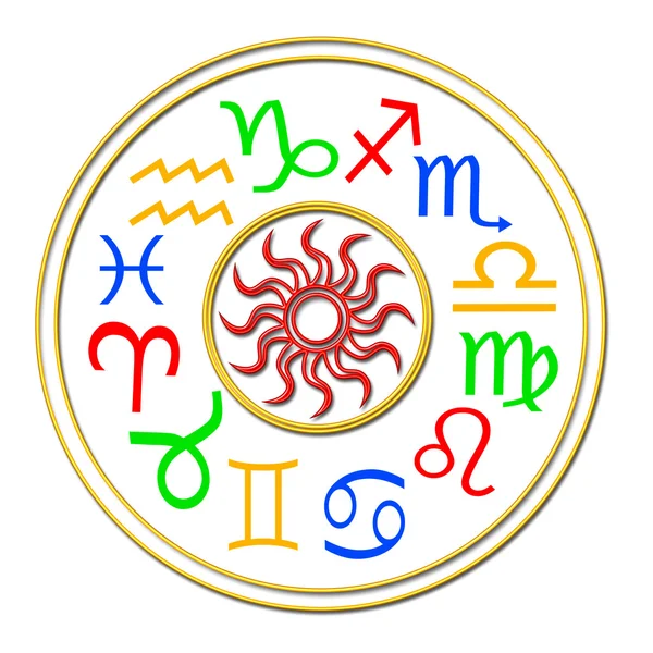
Astrology Signs Of The Zodiac Divided Into Elements Fire, Water, Air And Earth
Image, 0MB, 5940 × 5940 jpg

Housing Subdivision Or Housing Development. Also Call Tract Housing. Large Tract Of Land That Divided Into Smaller. Business Process By Developer And Builder. Aerial View In Chiang Mai Of Thailand.
Image, 15.52MB, 5464 × 3640 jpg

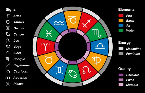
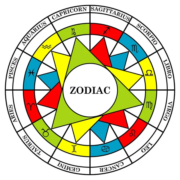
Complex Astrology Houses And Signs Of The Zodiac Divided Into Elements, Energy And Quality
Image, 0MB, 5940 × 5940 jpg

California State Counties, Gray Political Map. U.S. State Of California Subdivided Into 58 Counties, With San Bernardino County As Largest And Los Angeles County As Most Populous In The United States.
Vector, 2.83MB, 6000 × 7279 eps

Pythagorean Theorem Shown With Colorful Wooden Cubes, From Above. Pythagoras Theorem. Relation Of Sides Of A Right Triangle. The Two Smaller Squares Together Have The Same Area Than The Big One. Photo
Image, 4.2MB, 3709 × 3952 jpg

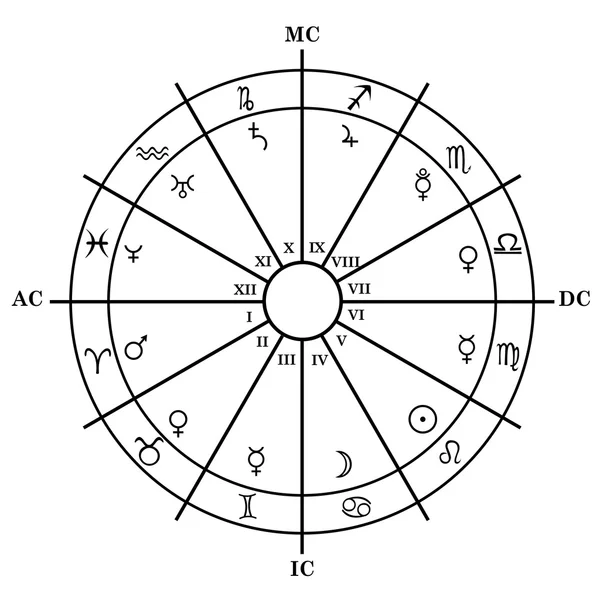
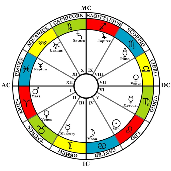
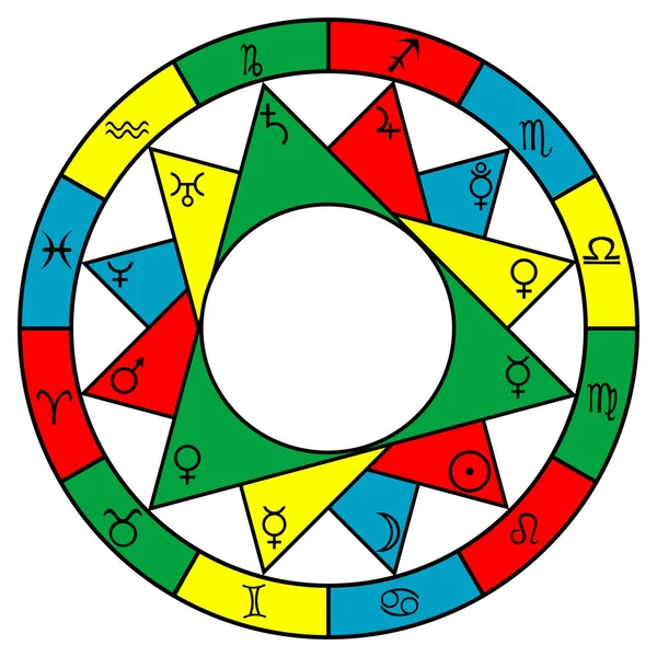
Astrology Zodiac With Natal Chart, Zodiac Signs, Houses And Planets On White Background
Image, 0MB, 5940 × 5940 jpg

Nevada State Counties, Political Map. A Landlocked State In The Western Region Of The United States, Subdivided Into 16 Counties And Independent Carson City. Map With Boundaries And County Names.
Vector, 2.37MB, 6000 × 8605 eps
Subdivided Grid System With Symbols. Randomly Sized Objects With Fixed Space Between. Futuristic Minimalistic Layout. Conceptual Generative Background. Procedural Graphics. Creative Coding
Vector, 0.96MB, 4667 × 6000 eps
Page 1 >> Next