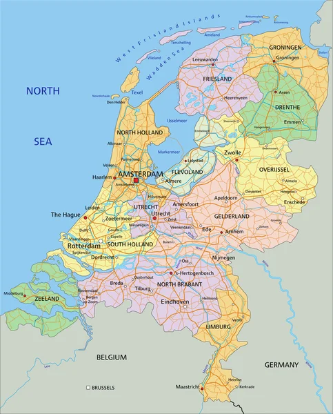
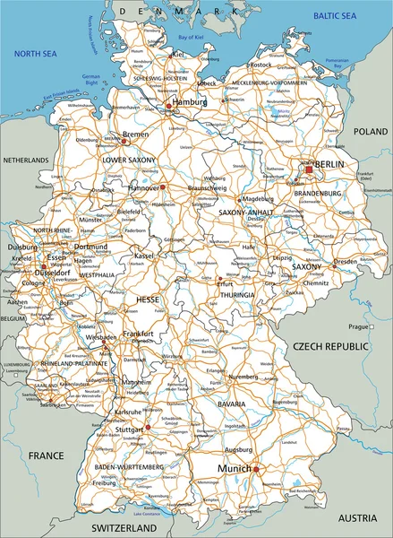
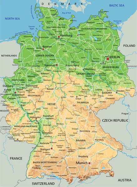
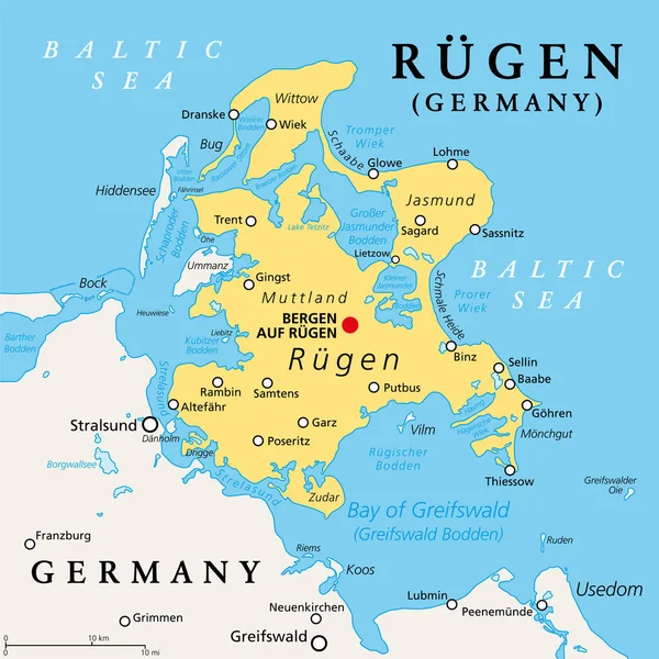
Stock vector Nordfriesland, or North Frisia, political map. Northernmost district of Germany, part of Schleswig-Holstein, with capital Husum and the five large islands Sylt, Foehr, Amrum, Pellworm and Nordstrand.

Published: Apr.16, 2024 18:56:40
Author: Furian
Views: 2
Downloads: 0
File type: vector / eps
File size: 1.91 MB
Orginal size: 6000 x 6000 px
Available sizes:
Level: silver