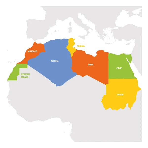
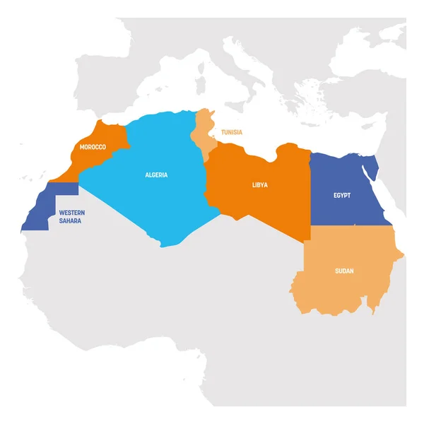
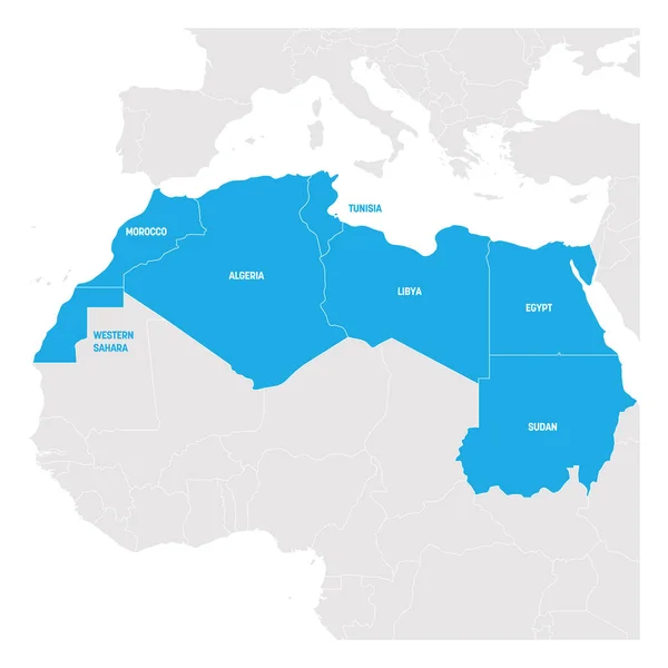
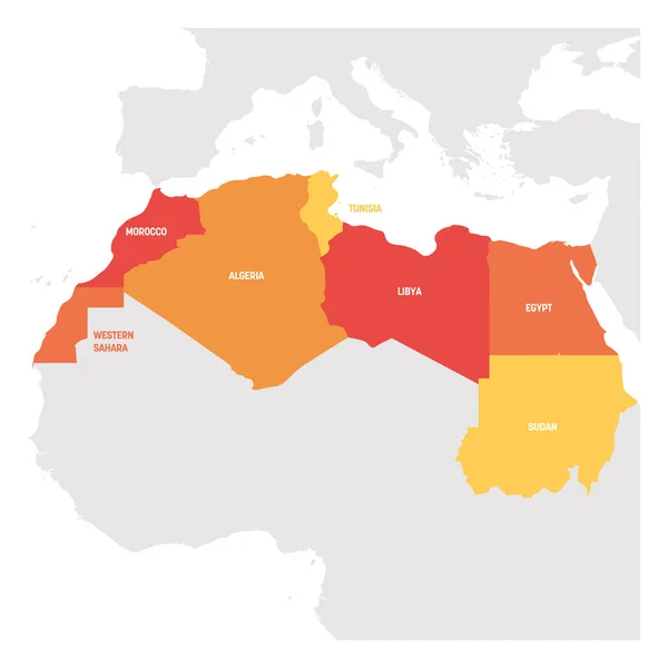
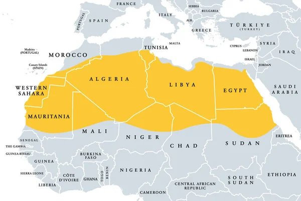
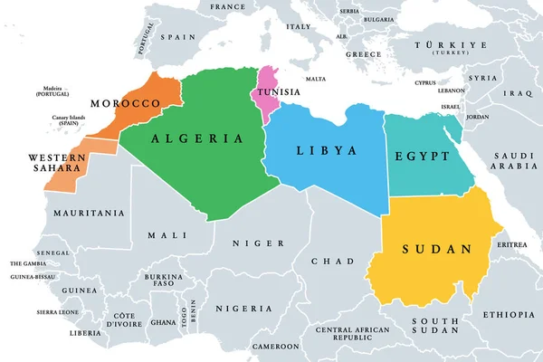
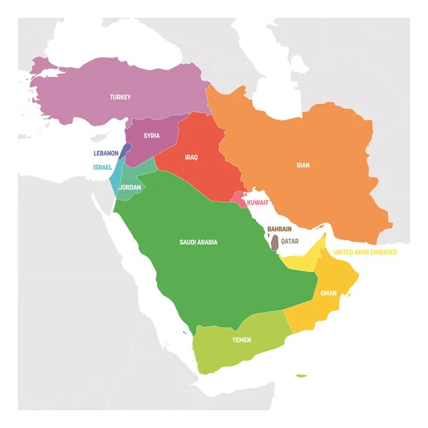
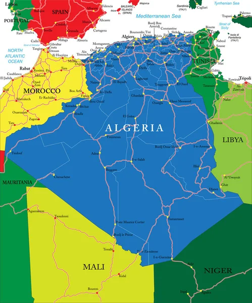
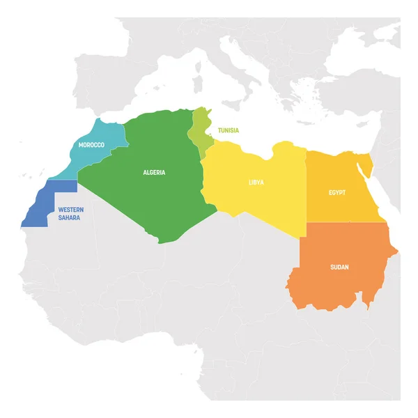
Stock vector North Africa Region. Colorful map of countries in northern Africa. Vector illustration
Published: Feb.11, 2019 11:54:20
Author: pyty
Views: 22
Downloads: 0
File type: vector / eps
File size: 2.12 MB
Orginal size: 6000 x 6000 px
Available sizes:
Level: silver