Home
Images
Vectors
Videos
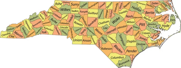
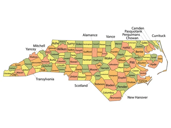
Stock vector north carolina administrative and political vector map with flag
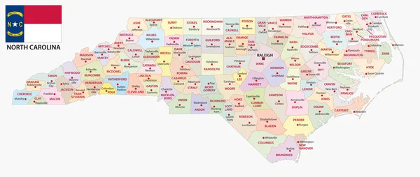
Published:
Jan.10, 2018 15:10:29
Author:
Lesniewski
Views:
170
Downloads:
0
File type:
vector
/
eps
File size:
1.9 MB
Orginal size:
7296
x
3100
px
Available sizes:
S
(500 x 212)
M
(1000 x 425)
L
(2000 x 850)
XL
(7296 x 3100)
VECT
(7296 x 3100)
EL0
(7296 x 3100)
Level:
bronze
Download Vector
Vector topics:
Vector
Travel
Border
Flag
Usa
North
South
Map
Cartography
Geography
State
America
Political
Administrative
Atlantic
United
Georgia
Borderline
Virginia
Carolina
North Carolina
United States
Similar stock vectors
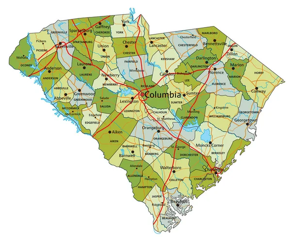
Colorful South Carolina Political Map With Clearly Labeled, Separated Layers. Vector Illustration.
4081 × 3510
South Carolina Road And Highway Map. Vector Illustration.
4077 × 3506
Pastel Vector Administrative Map Of The Federal State Of North Carolina, USA With Black Borders And Name Tags Of Its Counties
8005 × 3038
Detailed Map Of South Carolina State,in Vector Format,with County Borders,roads And Major Cities.
7498 × 6061
Highly Detailed Editable Political Map With Separated Layers. South Carolina.
4083 × 3511
Georgia State Outline Administrative And Political Vector Map In Color
3100 × 3467
"North Carolina Map" Flat Icon, Vector Illustration
5000 × 5000
Colorful County Map With Counties Names Of The US Federal State Of North Carolina
4800 × 3600