Home
Images
Vectors
Videos
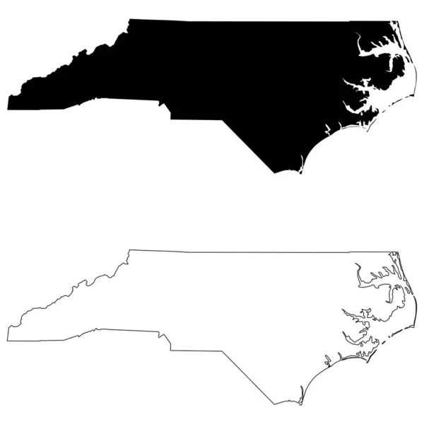
Stock vector north carolina state outline administrative and political vector map in black and white
Published:
Jul.06, 2021 08:53:34
Author:
Lesniewski
Views:
8
Downloads:
5
File type:
vector
/
eps
File size:
1.17 MB
Orginal size:
5998
x
3100
px
Available sizes:
S
(500 x 258)
M
(1000 x 517)
L
(2000 x 1034)
XL
(5998 x 3100)
VECT
(5998 x 3100)
EL0
(5998 x 3100)
Level:
bronze
Download Vector
Vector topics:
White
Vector
Graphic
Illustration
Design
Isolated
New
Travel
Abstract
Black
Border
Icon
Contour
Scale
American
Usa
Detailed
Outline
Country
District
Map
Cartography
Geography
Kilometers
State
Topography
America
Countries
Borders
Political
Administrative
United
States
Region
Miles
Nation
County
Mapping
Coordinates
Topographical
Counties
Infographic
North America
North Carolina
United States
United States Of America
Geographical Locations
North Arrow
Similar stock vectors
South Carolina State Outline Administrative And Political Map In Black And White
3685 × 3100
Tennessee State Outline Administrative And Political Vector Map In Black And White
5916 × 3100
Tennessee State Outline Administrative And Political Vector Map In Black And White
4000 × 3670
Map Of The North Carolina On White Background. Black Outline Map Of North Carolina. North Carolina, State Of USA. Flat Style.
5000 × 5000
North Carolina NC State Maps. Black Silhouette And Outline Isolated On A White Background. EPS Vector
8334 × 8334
Maryland State Outline Administrative And Political Vector Map In Black And White
4745 × 3100
State Of North Carolina Map
4300 × 2800
High Detailed North Carolina Physical Map With Labeling.
7313 × 3584