photo free
Home Images Vectors Videos

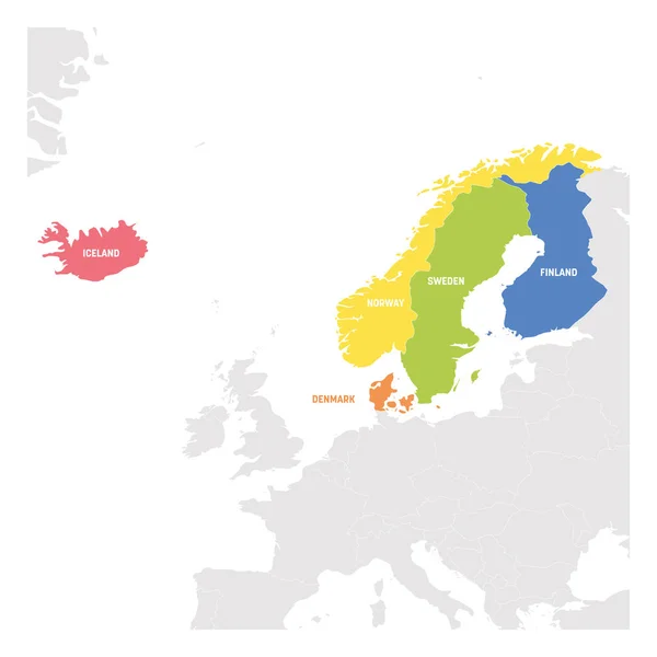
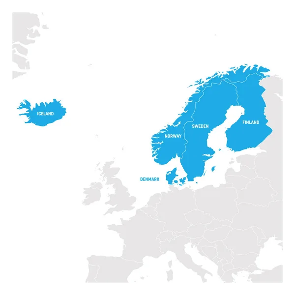
Stock vector North Europe Region. Map of countries of Scandinavia. Vector illustration

Stock vector North Europe Region. Map of countries of Scandinavia. Vector illustration
Published: Apr.15, 2019 12:16:41
Author: pyty
Views: 70
Downloads: 1
File type: vector / eps
File size: 1.41 MB
Orginal size: 6000 x 6000 px
Available sizes:
S
(500 x 500)
M
(1000 x 1000)
L
(2000 x 2000)
XL
(6000 x 6000)
VECT
(6000 x 6000)
EL0
(6000 x 6000)
Level: silver
Download Vector
Vector topics:

Similar stock vectors

stock vector North Europe Region. Colorful map of countries of Scandinavia. Vector illustration

North Europe Region. Colorful Map Of Countries Of Scandinavia. Vector Illustration

6000 × 6000
stock vector North Europe Region. Map of countries of Scandinavia. Vector illustration

North Europe Region. Map Of Countries Of Scandinavia. Vector Illustration

6000 × 6000
stock vector North Europe Region. Map of countries of Scandinavia. Vector illustration

North Europe Region. Map Of Countries Of Scandinavia. Vector Illustration

6000 × 6000
stock vector North Europe Region. Map of countries of Scandinavia. Vector illustration

North Europe Region. Map Of Countries Of Scandinavia. Vector Illustration

6000 × 6000
stock vector grayscale silhouette with europe map with norway and sweden in blue color

Grayscale Silhouette With Europe Map With Norway And Sweden In Blue Color

5315 × 5315
stock vector Scandinavian states Denmark, Norway, Finland, Sweden and Iceland blue highlighted in the political map of Europe. Vector illustration

Scandinavian States Denmark, Norway, Finland, Sweden And Iceland Blue Highlighted In The Political Map Of Europe. Vector Illustration

6000 × 6000
stock vector European Union map and the indication of Norway

European Union Map And The Indication Of Norway

3997 × 4000
stock vector Colorful vector map of EU, European Union. Member states after brexit in 2020

Colorful Vector Map Of EU, European Union. Member States After Brexit In 2020

6000 × 6000