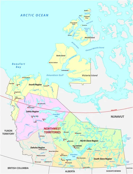
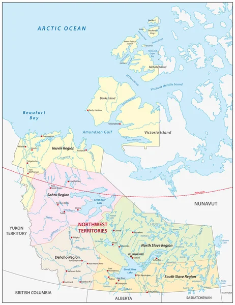
Stock vector northwest territories political and administrative regions map, canada
Published: Jul.30, 2019 11:26:44
Author: Lesniewski
Views: 183
Downloads: 3
File type: vector / eps
File size: 2.66 MB
Orginal size: 3100 x 4023 px
Available sizes:
Level: bronze