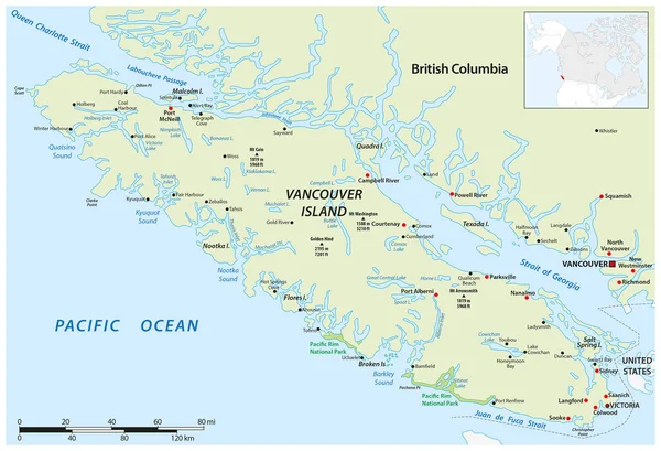
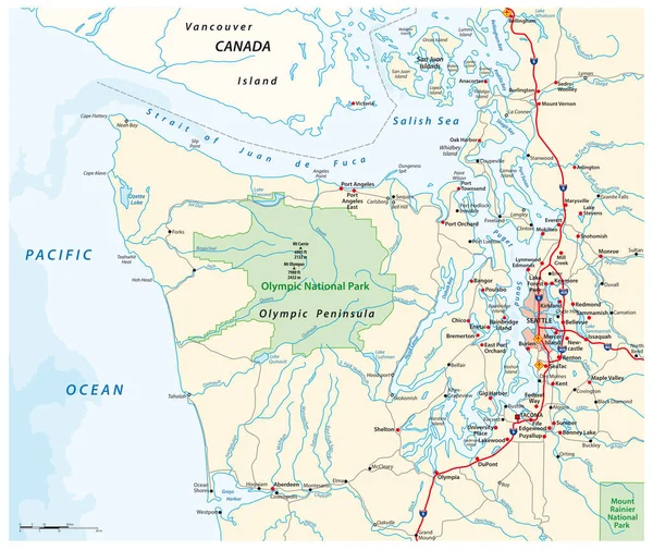
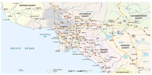
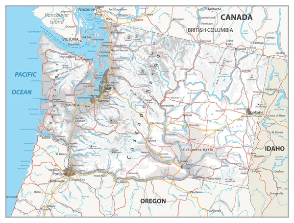
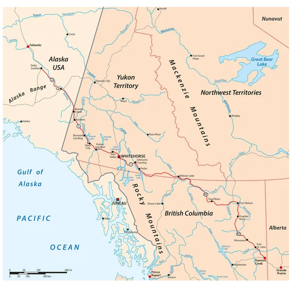
Stock vector Vector road map of the Alaska Highway from Delta Junction to Dawson Creek, Canada, USA
Published: Jul.11, 2023 08:35:31
Author: Lesniewski
Views: 3
Downloads: 0
File type: vector / eps
File size: 3.35 MB
Orginal size: 3195 x 3100 px
Available sizes:
Level: bronze