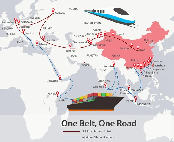
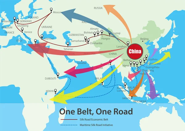
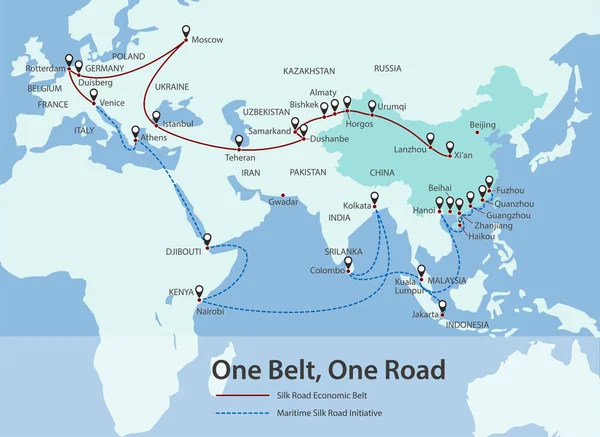
Stock vector One belt one road. New Chinese trade silk road. Vector map infographics illustration

Published: Sep.13, 2018 11:50:45
Author: mpavlov
Views: 82
Downloads: 13
File type: vector / eps
File size: 3.78 MB
Orginal size: 7160 x 3941 px
Available sizes:
Level: silver