photo free
Home Images Vectors Videos

Stock vector outline map of the Canadian province Saskatchewan with flag

Stock vector outline map of the Canadian province Saskatchewan with flag
Published: Mar.30, 2020 14:07:25
Author: PantherMediaSeller
Views: 38
Downloads: 1
File type: vector / zip
File size: 0 MB
Orginal size: 6432 x 5488 px
Available sizes:
S
(500 x 427)
M
(1000 x 853)
L
(2000 x 1706)
XL
(6432 x 5488)
VECT
(6432 x 5488)
EL0
(6432 x 5488)
Level: platinum
Download Vector
Vector topics:

Similar stock vectors

stock vector outline map of the Canadian Manitoba province with flag

Outline Map Of The Canadian Manitoba Province With Flag

6432 × 5488
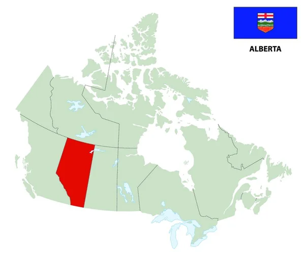
stock vector outline map of the Canadian province of Alberta with flag

Outline Map Of The Canadian Province Of Alberta With Flag

6432 × 5488
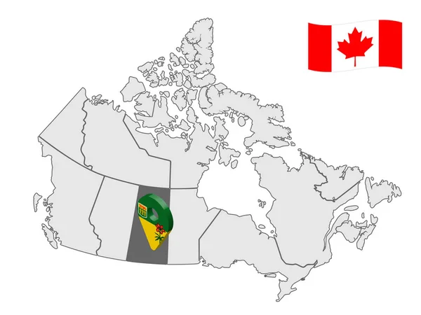
stock vector Location of  Saskatchewan on map Canada. 3d Saskatchewan location sign. Flag of Saskatchewan Province. Quality map of Canada. Stock vector. EPS10.

Location Of Saskatchewan On Map Canada. 3d Saskatchewan Location Sign. Flag Of Saskatchewan Province. Quality Map Of Canada. Stock Vector. EPS10.

6668 × 5000
stock vector outline map of Canada's Yokon territory with flag

Outline Map Of Canada's Yokon Territory With Flag

6432 × 5488
stock image Political map of Canada with the several provinces where Manitoba is highlighted.

Political Map Of Canada With The Several Provinces Where Manitoba Is Highlighted.

6575 × 5630
stock image Political map of Canada with the several provinces where Alberta is highlighted.

Political Map Of Canada With The Several Provinces Where Alberta Is Highlighted.

6575 × 5630
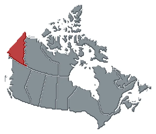
stock image Political map of Canada with the several provinces where Yukon is highlighted.

Political Map Of Canada With The Several Provinces Where Yukon Is Highlighted.

6575 × 5630
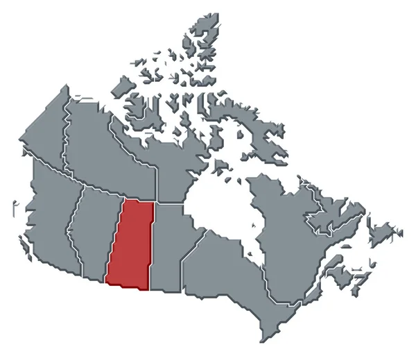
stock image Political map of Canada with the several provinces where Saskatchewan is highlighted.

Political Map Of Canada With The Several Provinces Where Saskatchewan Is Highlighted.

6575 × 5630