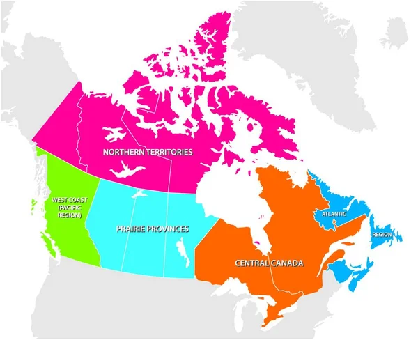
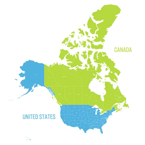
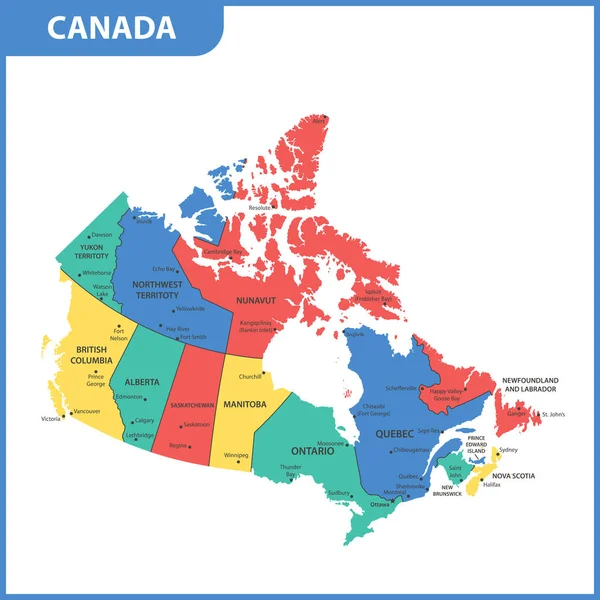
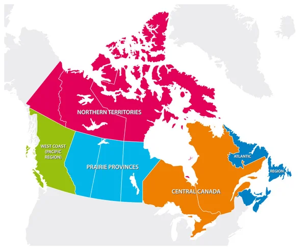
Stock vector Outline map of the five Canadian regions
Published: Jan.02, 2019 21:06:04
Author: Lesniewski
Views: 68
Downloads: 3
File type: vector / eps
File size: 1.17 MB
Orginal size: 3793 x 3100 px
Available sizes:
Level: bronze